 |
| This hike occurred on November 29, 2013 |
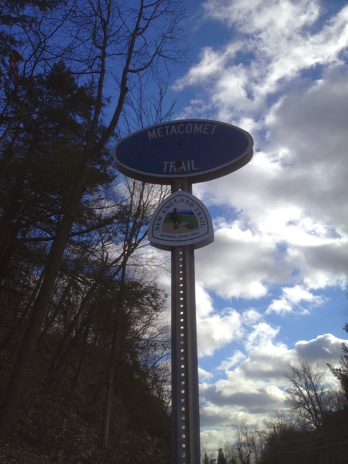
Trail Heads:
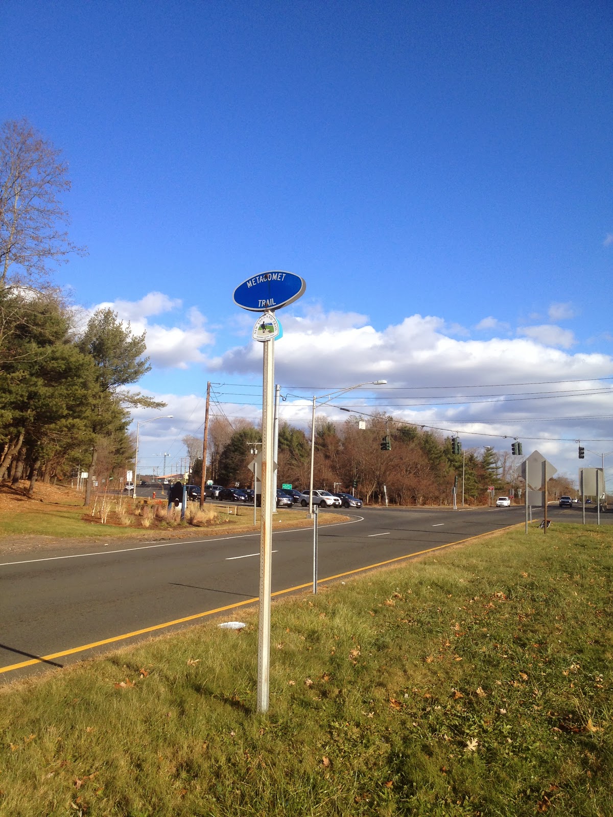
Parking for Metacomet Trail, Colt Highway (RT-6), Farmington, CT – This Metacomet trail head has both a small parking lot as well as on-street parking where the trail crosses the highway.
Talcott Notch Rd., Farmington, CT – by the intersection of Metacomet Rd and Talcott Notch Rd, there is side-of-the-road parking available for 3-4 cars by the electric lines access road.
Length/Distance: According the Connecticut Walk book, the route between the trail heads on Colt Highway/Rt-6 and Talcott Notch Rd was 4.0 miles. According to my GPS tracking program, our route was 3.76 miles.
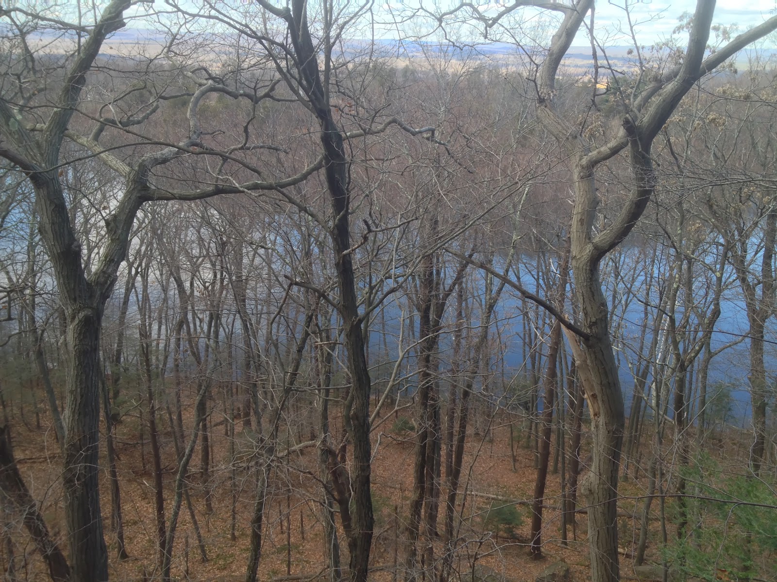
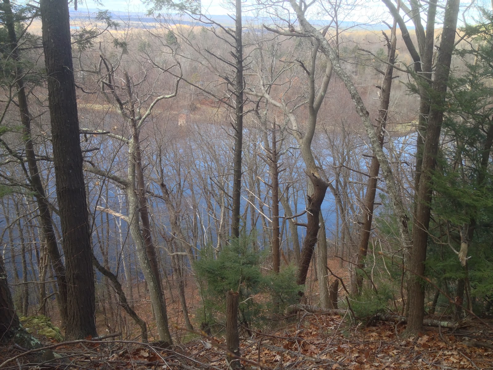
Summary: We started from Colt Highway/Rt-6 and hiked towards Talcott Notch Rd. There was a small climb at the beginning and we had a tree-filled view of Farmington Reservoir.
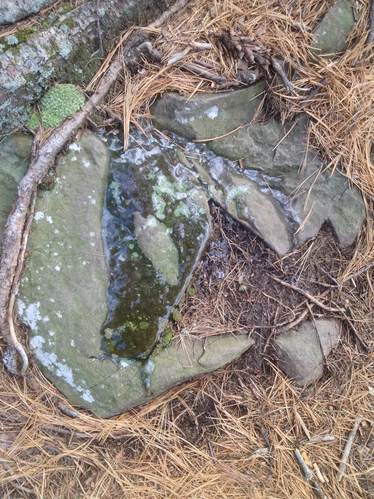
It was fairly cold and there was some ice on the rocks near the path.
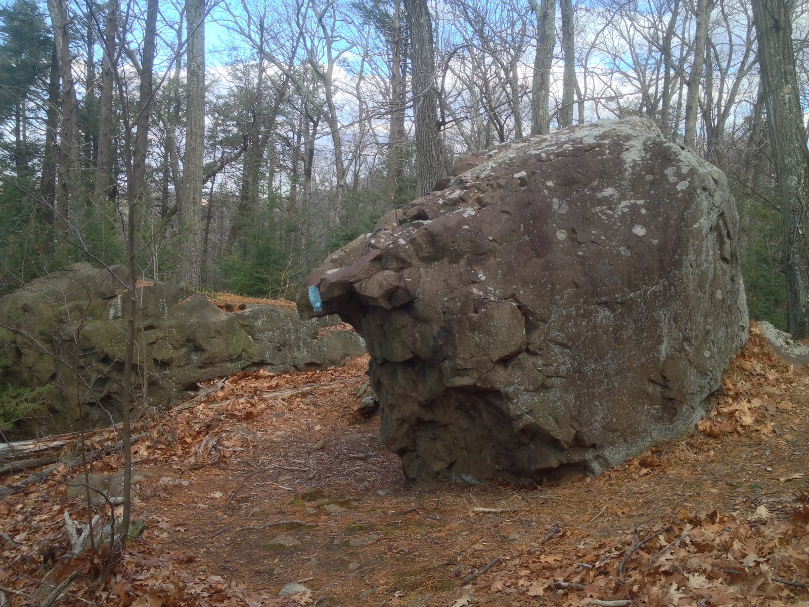
There was a very large rock in the middle of the trail.
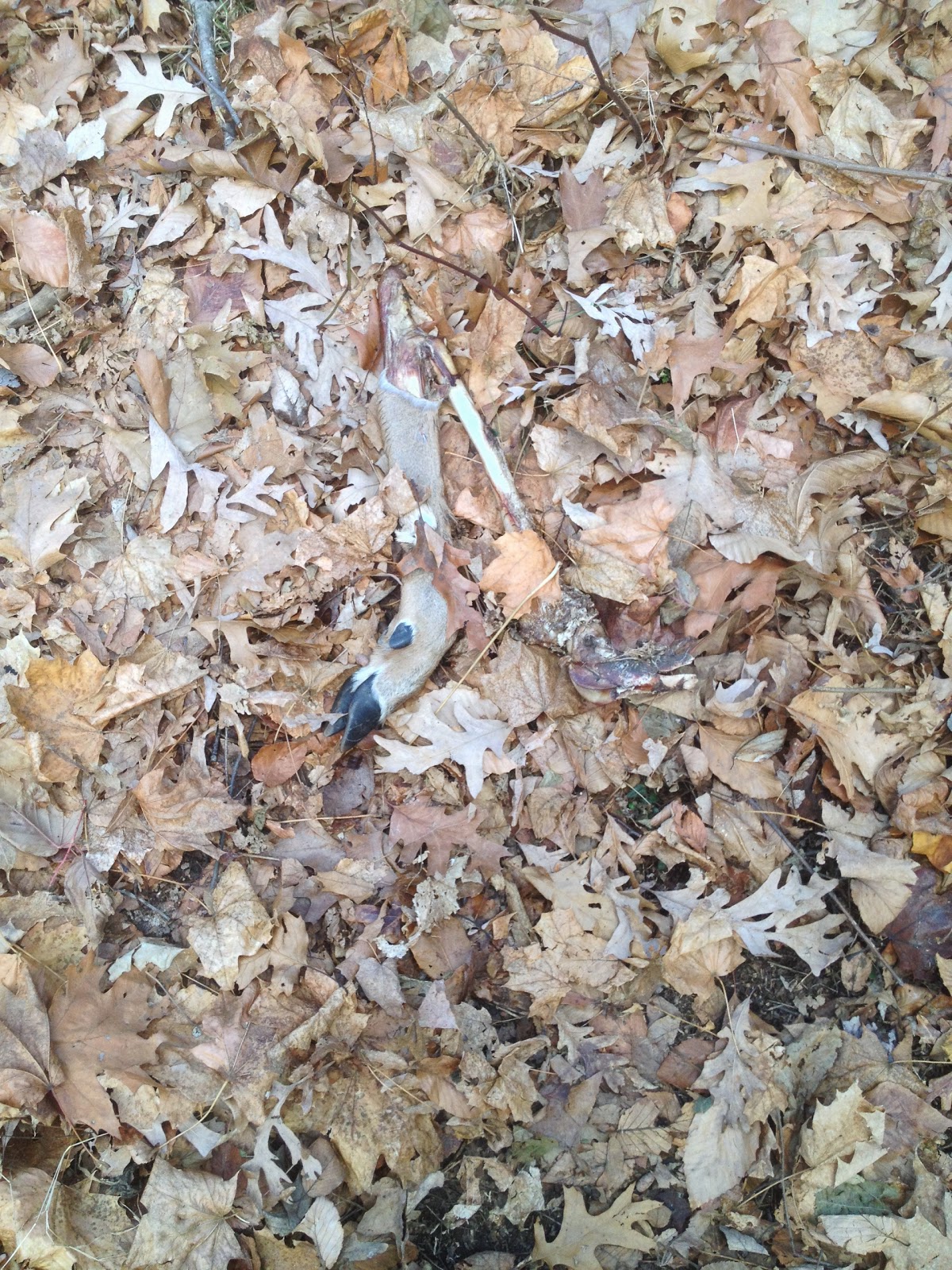
The trail crossed over a number of small residential roads. Somewhere in the woods, we came across a White-Tailed Deer (Odocoileus virginianus) leg. No carrion nearby we could see, just a random limb.
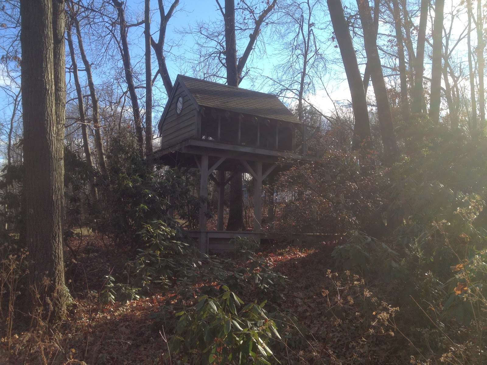
During a road walk portion, we saw someone’s treehouse. It looked pretty cool, though it looked a bit run down and out of use.
We crossed over Farmington Ave/Rt4, running like squirrels between traffic.
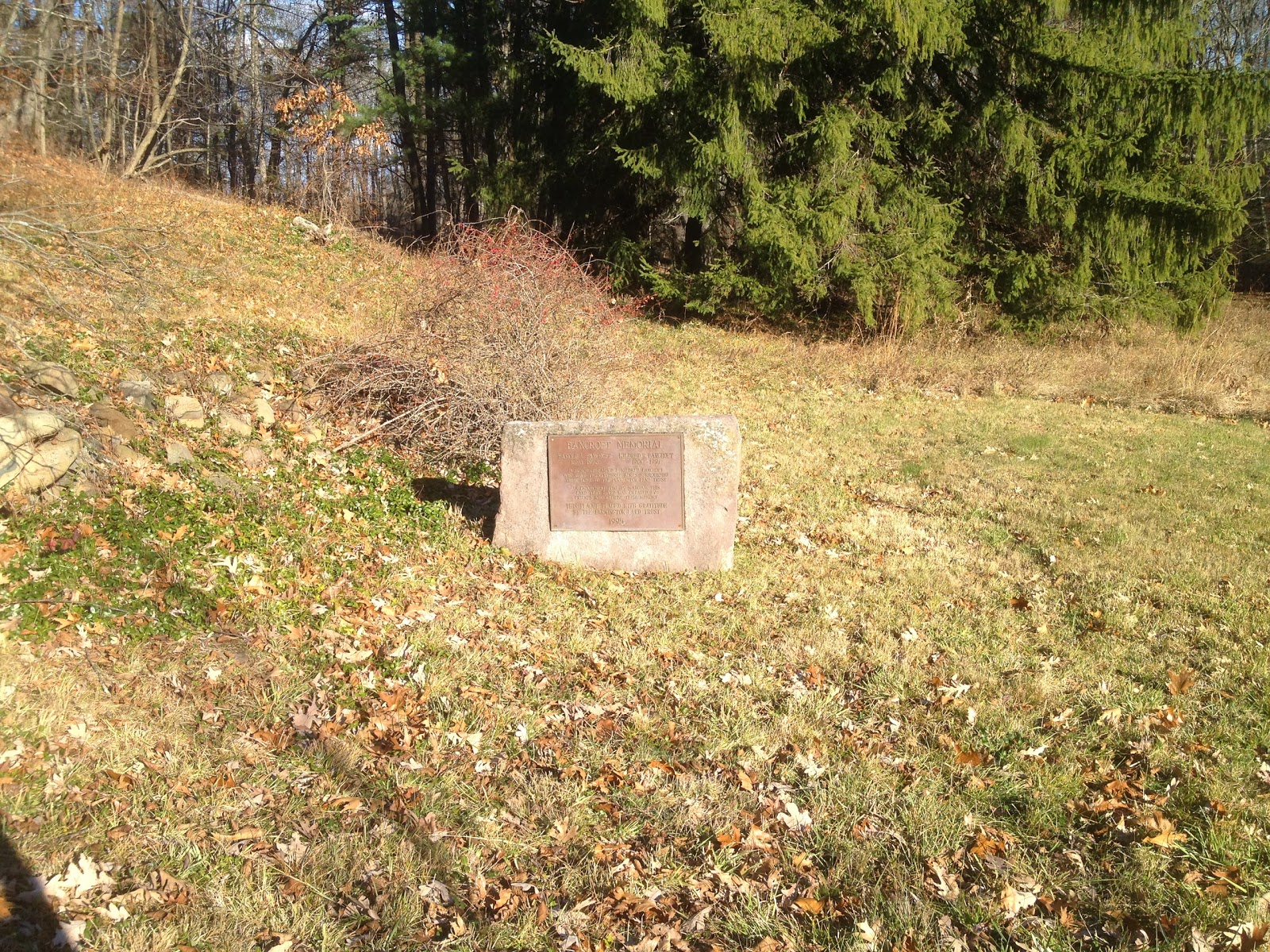
The next section of trail after that included the Bancroft Memorial.


http://www.google-analytics.com/ga.jshttp://www.google-analytics.com/ga.jshttp://www.google-analytics.com/ga.jshttp://www.google-analytics.com/ga.js var _gaq = _gaq || []; _gaq.push([‘_setAccount’, ‘UA-42100924-1’]); _gaq.push([‘_trackPageview’]); (function() { var ga = document.createElement(‘script’); ga.type = ‘text/javascript’; ga.async = true; ga.src = (‘https:’ == document.location.protocol ? ‘https://ssl’ : ‘http://www’) + ‘.google-analytics.com/ga.js’; var s = document.getElementsByTagName(‘script’)[0]; s.parentNode.insertBefore(ga, s); })();
