 |
| This hike occurred on August 16 & 17 |
Trail head:
395 Undermountain Rd (Rt 41), Salisbury, CT – Off of Rt 41, there’s a large parking lot with space for maybe a dozen cars. In addition, there’s also road side parking.
Length/Distance: According to the CT Walk book and the Appalachian Trail guide, the first section of trail we completed should have 3.6 and the second, 3.2. Our GPS tracking program said the first was 3.66 and the second was 3.42. However, it’s worth noting that we only traveled a few miles on the AT.
Summary:
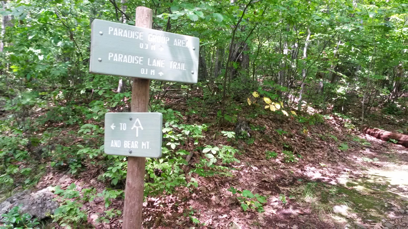
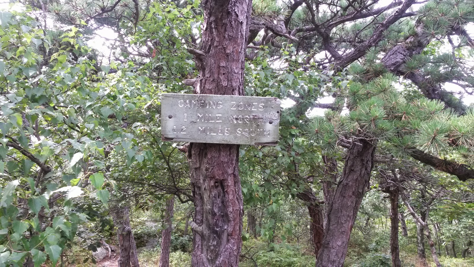
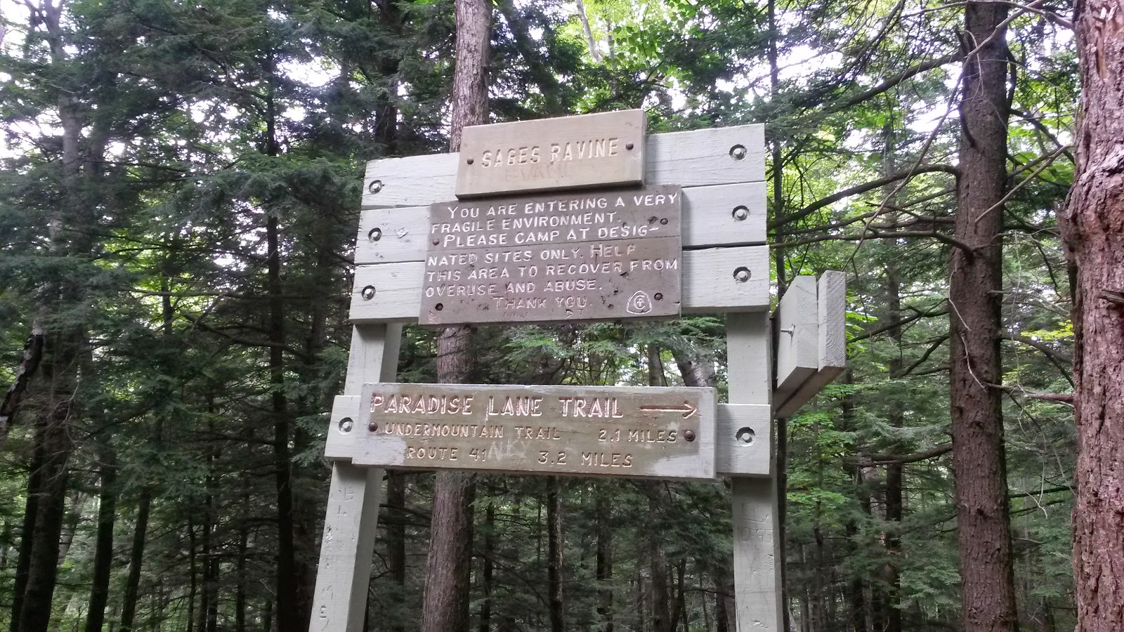
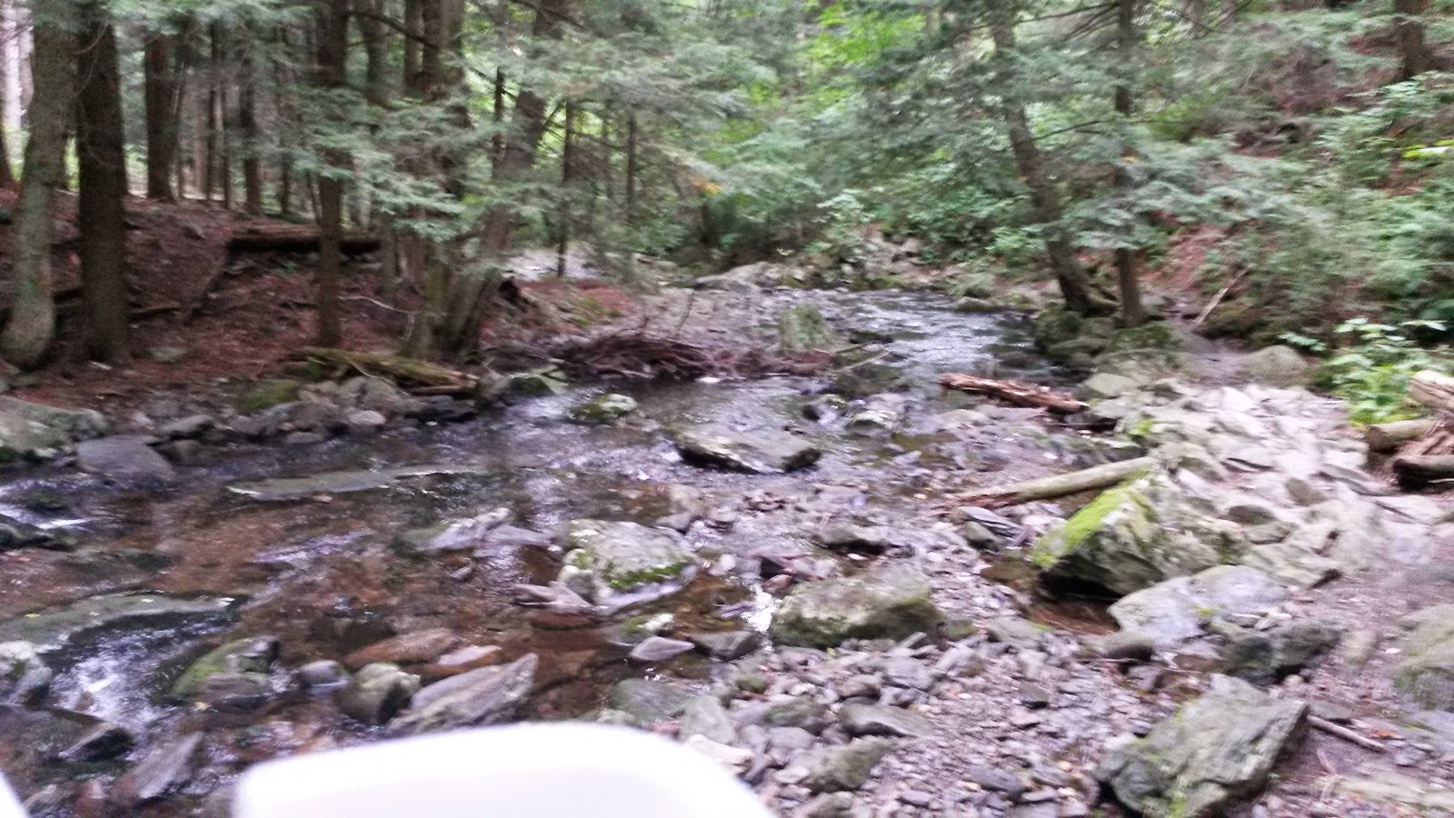
We parked at the base of Undermountain Trail. We hiked up Undermountain trail, past the intersection with Paradise Lane Trail.
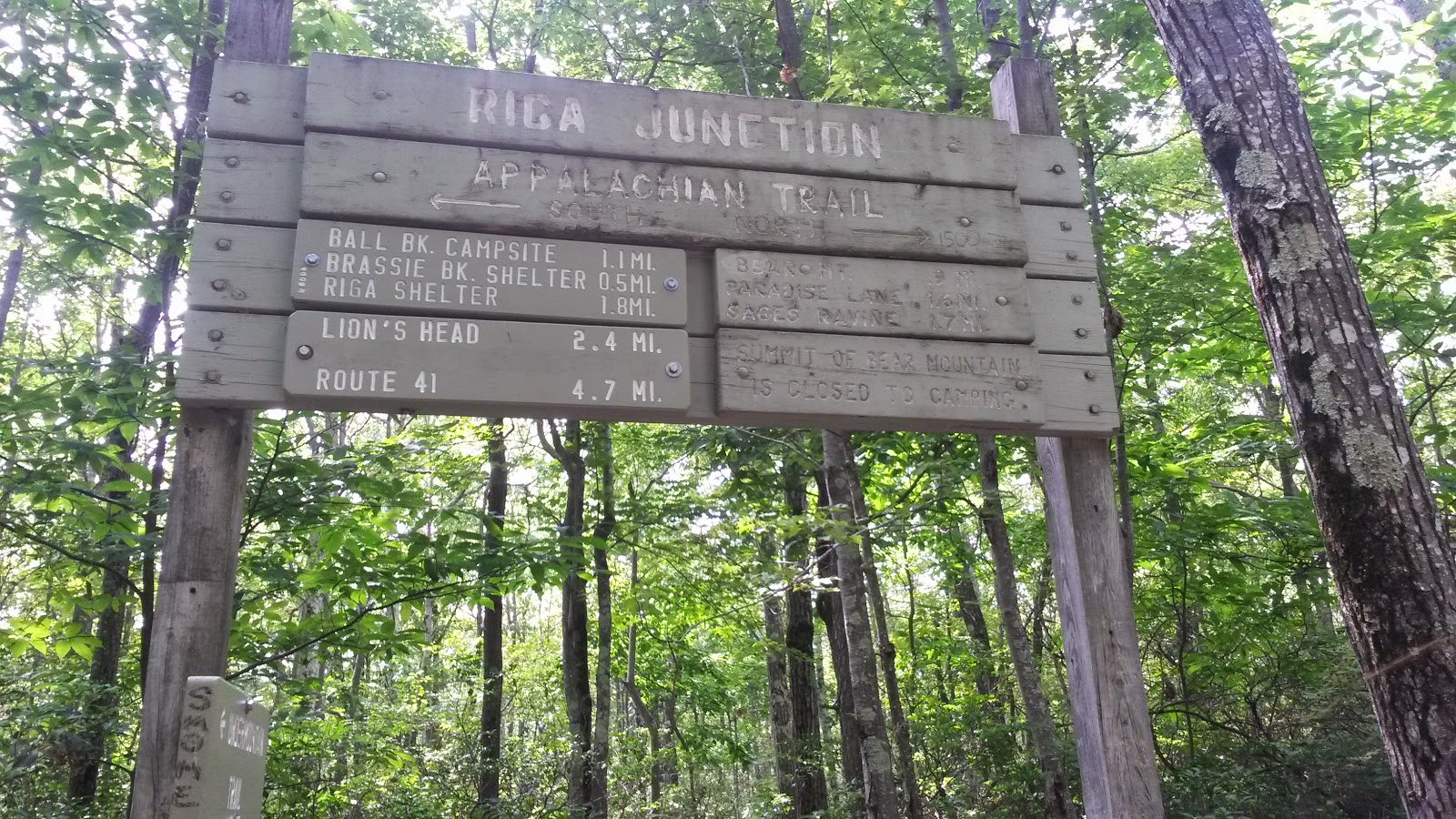
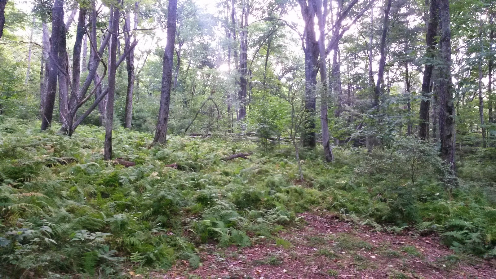
We eventually made it to the intersection with the AT, Riga Junction.

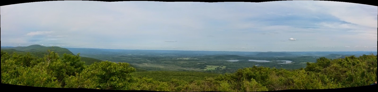
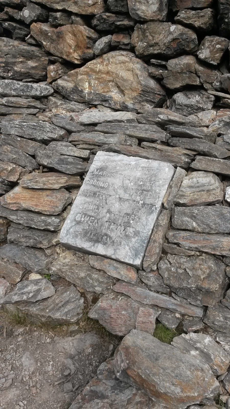
We went to the right and climbed up Bear Mountain.

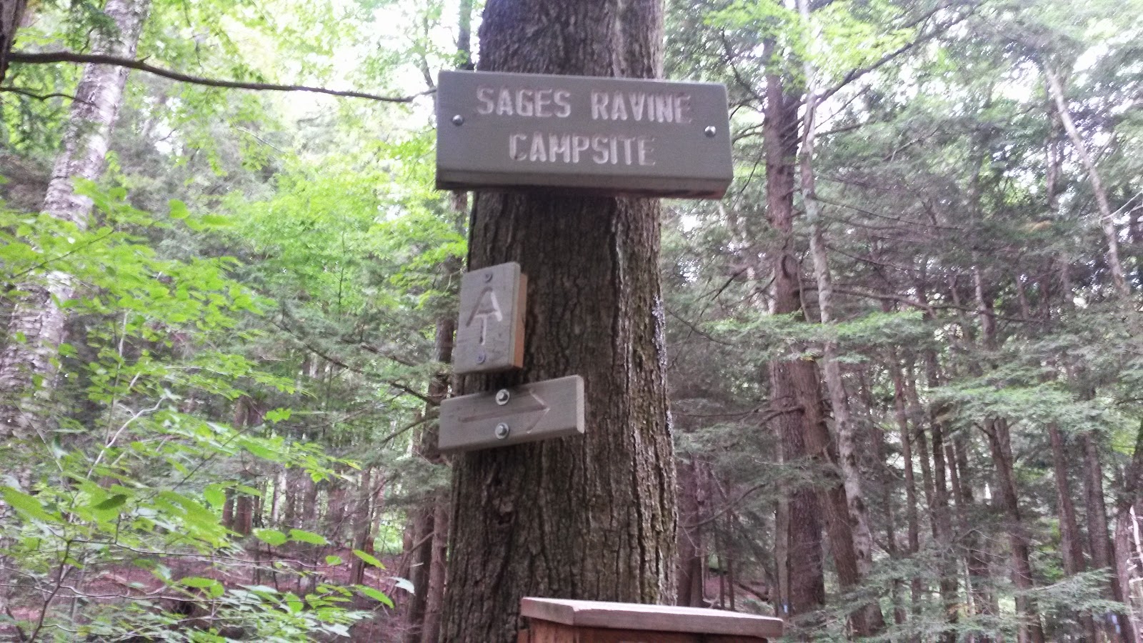
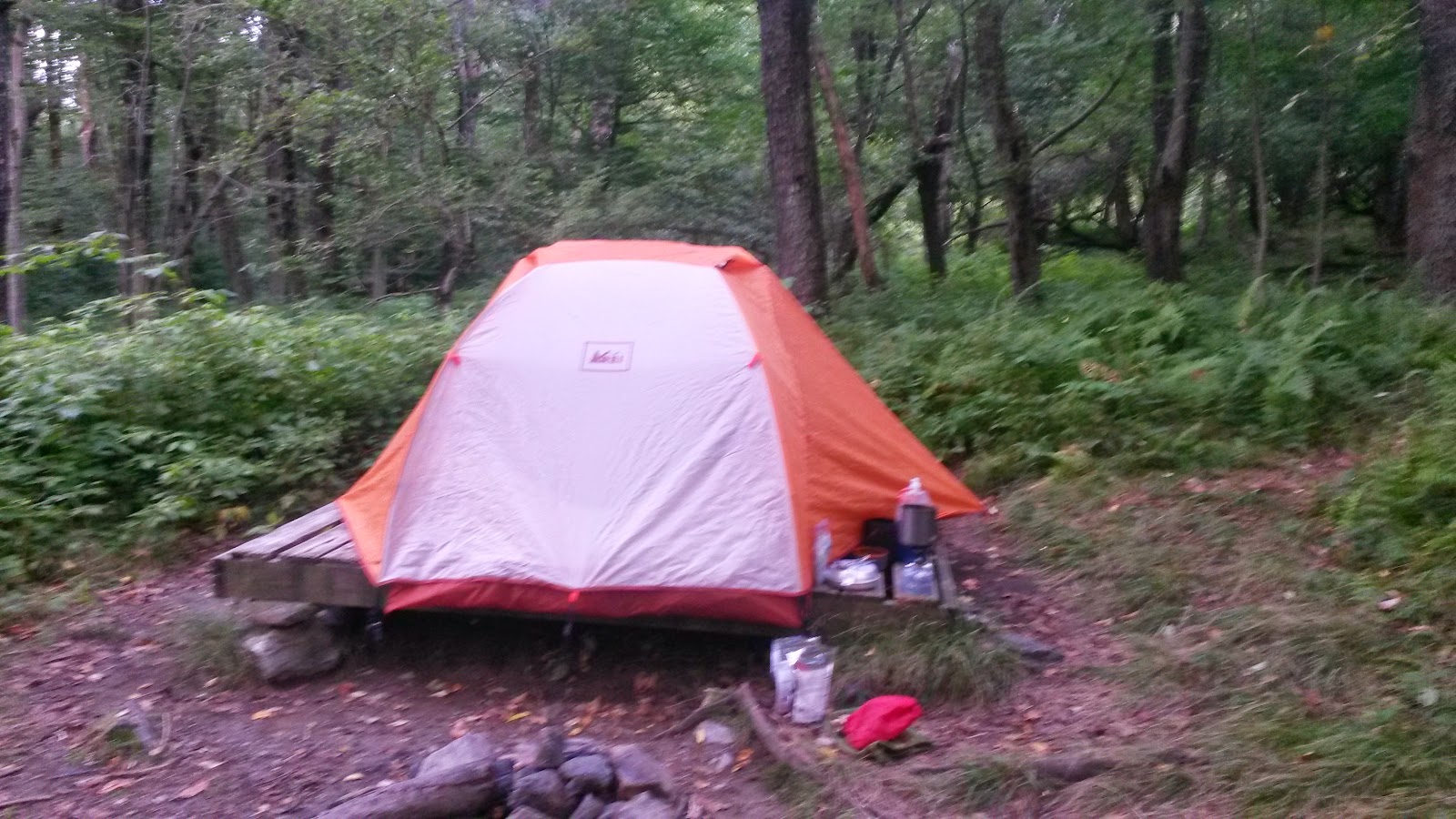
Shortly after that, we came to the campsite.


http://www.google-analytics.com/ga.jshttp://www.google-analytics.com/ga.jshttp://www.google-analytics.com/ga.jshttp://www.google-analytics.com/ga.js var _gaq = _gaq || []; _gaq.push([‘_setAccount’, ‘UA-42100924-1’]); _gaq.push([‘_trackPageview’]); (function() { var ga = document.createElement(‘script’); ga.type = ‘text/javascript’; ga.async = true; ga.src = (‘https:’ == document.location.protocol ? ‘https://ssl’ : ‘http://www’) + ‘.google-analytics.com/ga.js’; var s = document.getElementsByTagName(‘script’)[0]; s.parentNode.insertBefore(ga, s); })();
