Saturday, June 30, 2018
Miles: 23
Elevation gain: 8500′
Companion: Stretch
MapMyRun (elevation is very wrong)
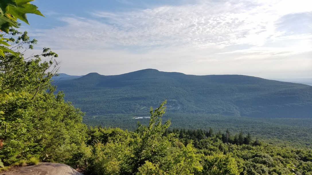
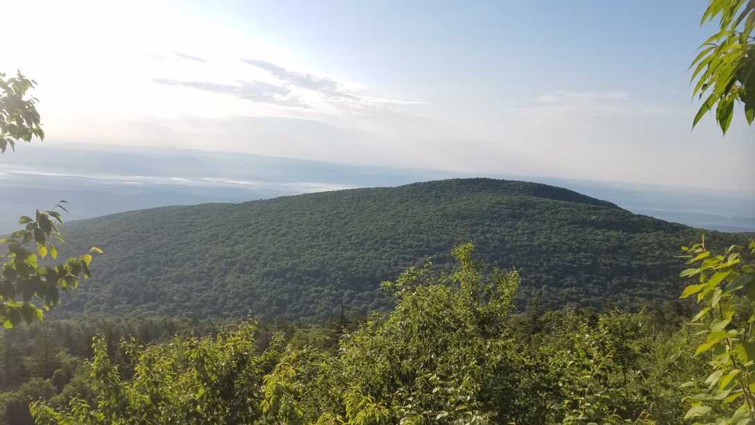
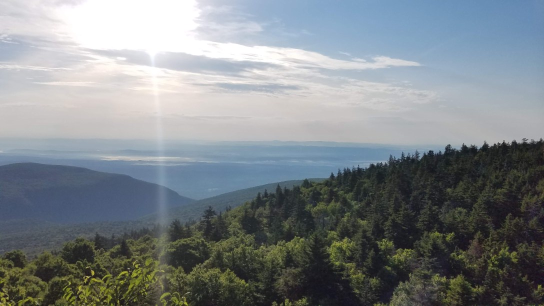
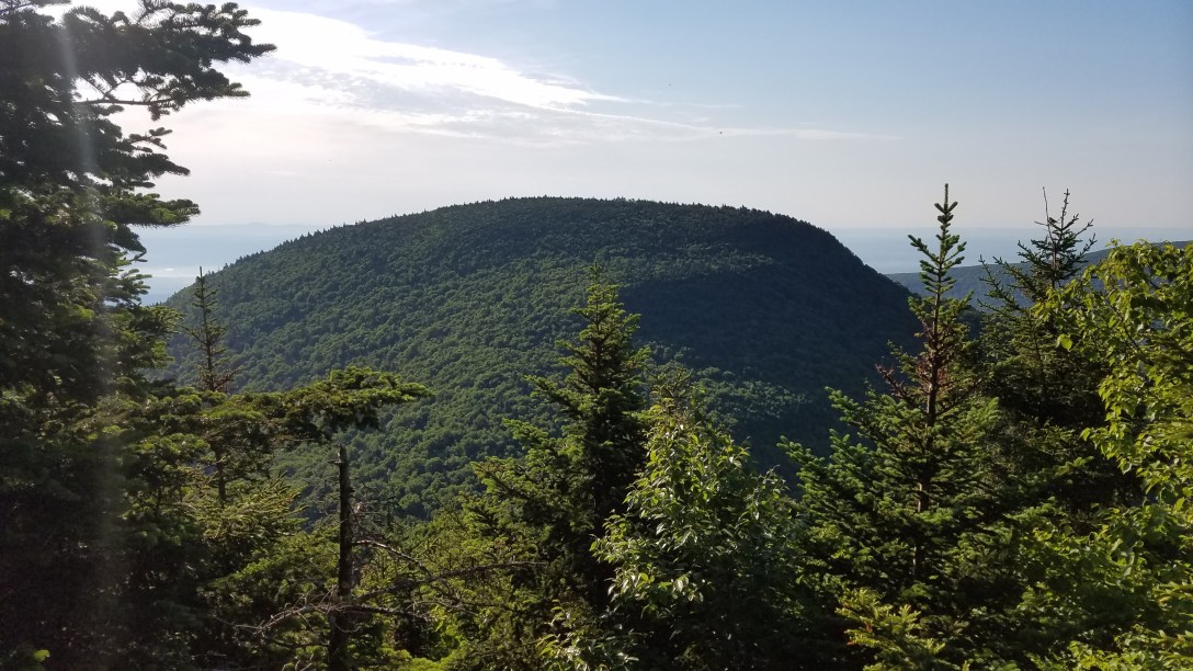
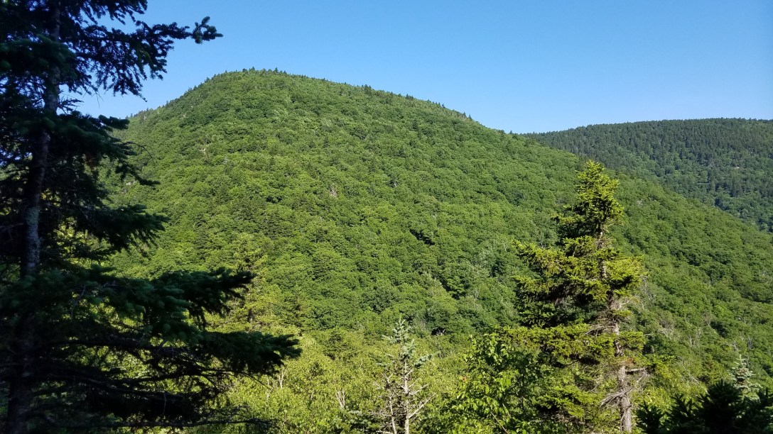
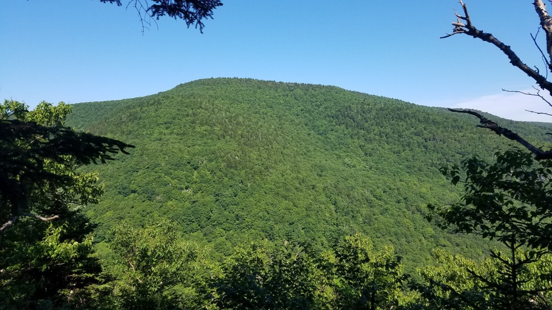
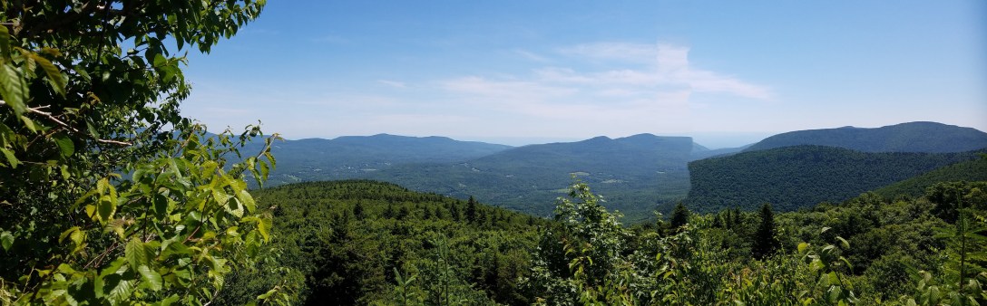
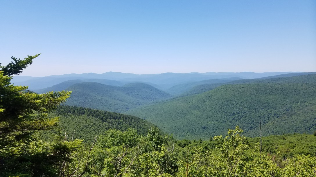
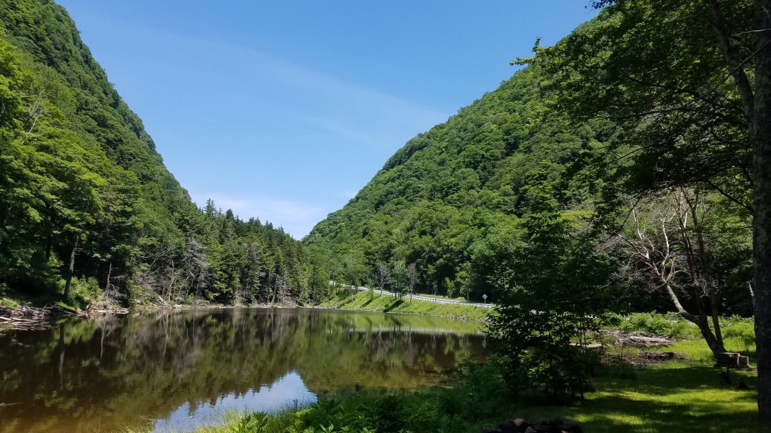
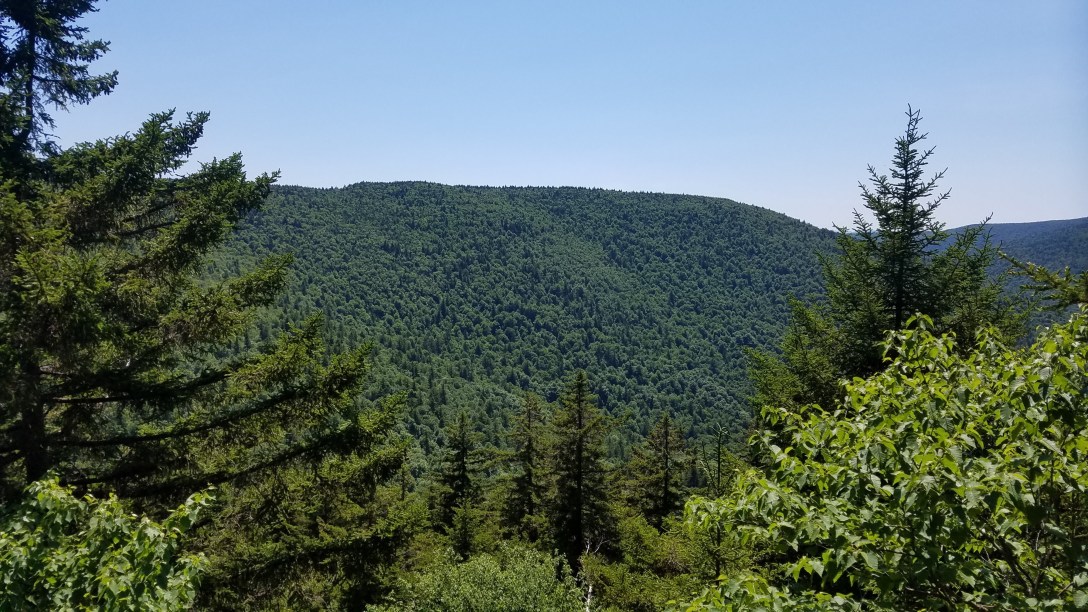
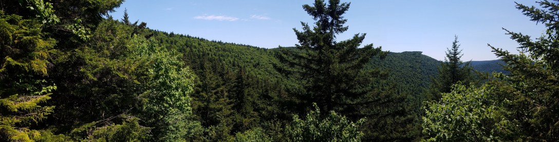
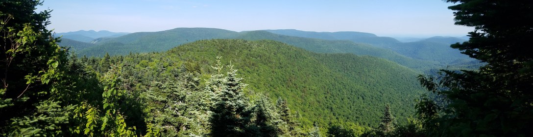
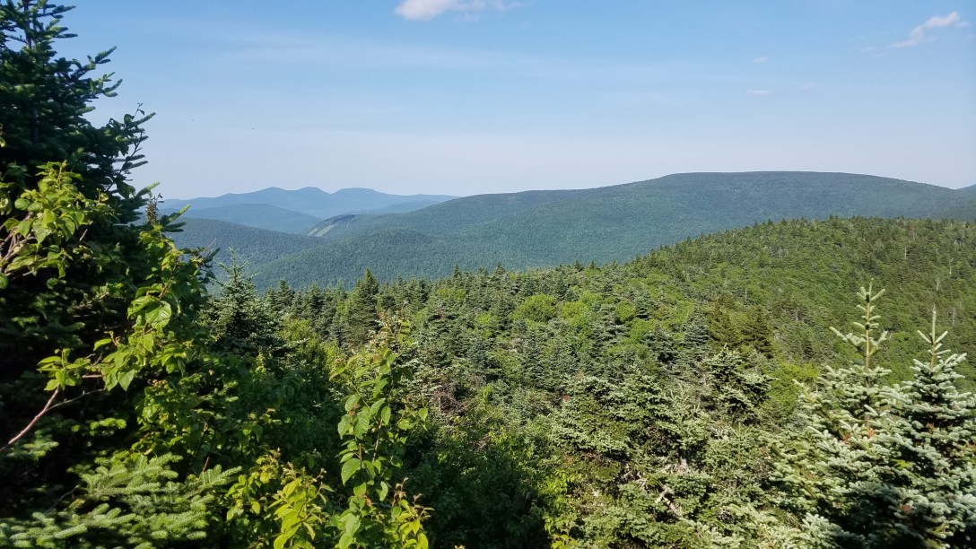
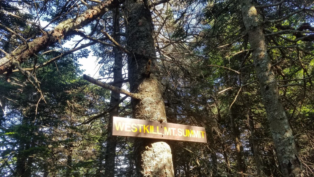
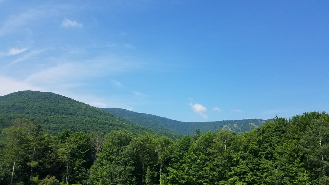
Points/views: Prediger Rd (~2000′), Sherman’s Lookout, Indian Head Mountain (3573′), Twin Mountain (3640′), Sugarloaf Mountain (3800′), Plateau Mountain (3840′), Danny’s Lookout, Orchard Point, Stony Clove Notch (~1800′), skirted Hunter (~3500′), Geiger Point, Diamond Notch Falls (~2400′), Rock Overhang, Buck Ridge Lookout, West Kill Mountain (3880′), St Anne’s Peak (3420′), and then Spruceton Rd.
We started at started at Prediger Rd at 5:50am. We made it to the psychological half way point of Stony Clove Notch around 12:45pm, and arrived at the car on Spruceton Rd at 7pm. There was water present on-trail at: Mink Hollow (piped spring), Notch Lake, Devil’s Acre shelter, Diamond Notch Falls, and on the climb up West Kill.