Wednesday, July 18, 2018
Start: Col de la Croix du Bonhomme, Refuge de la Croix du Bonhomme
End: Rifugio Elisabetta
Mileage: 10.0
Elevation: 3482′ gain, 4464′ descent
Stage: part of Stage 2 variente, stage 3
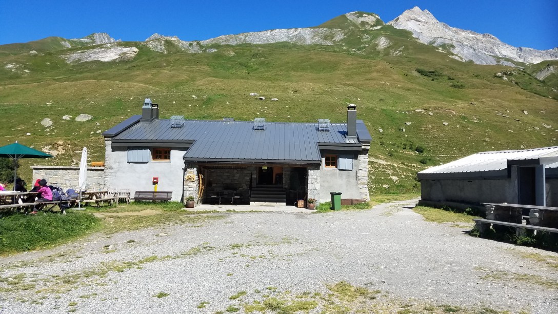
As it turned out, our 2 roommates never showed up last night, so we had the room to ourselves. This was a bonus but it also meant we didn’t know if someone was going to walk into the room after we went to sleep. We woke up at 6am, packed up, had breakfast at 6:30am, and headed out from the refuge by 7am.
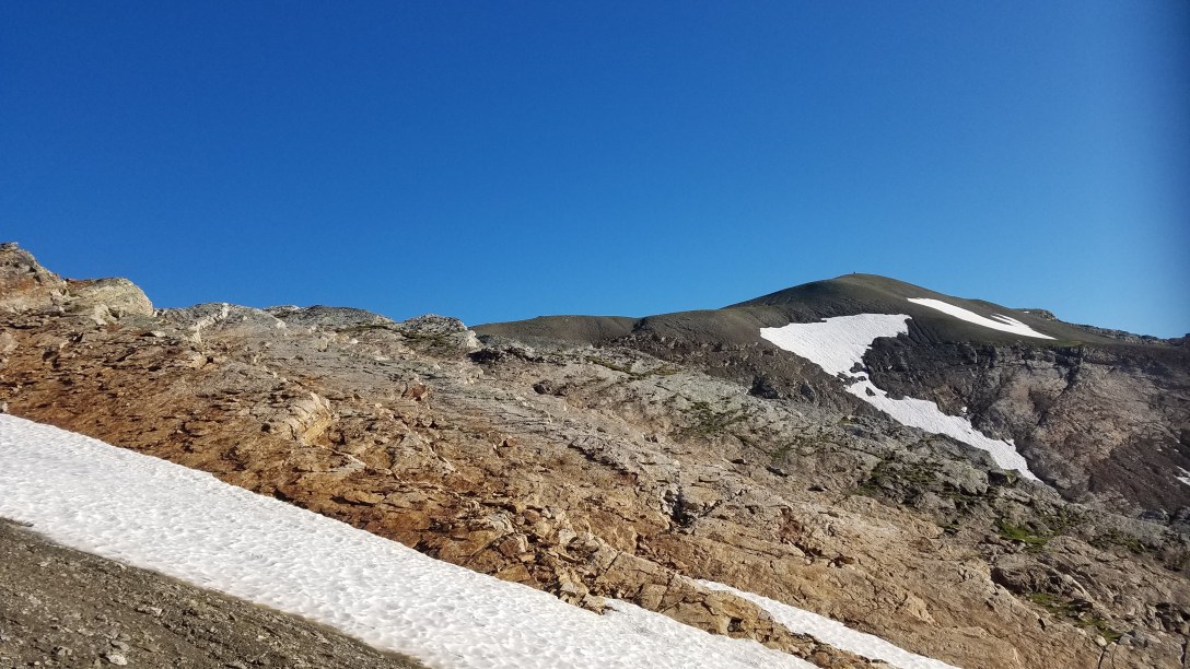
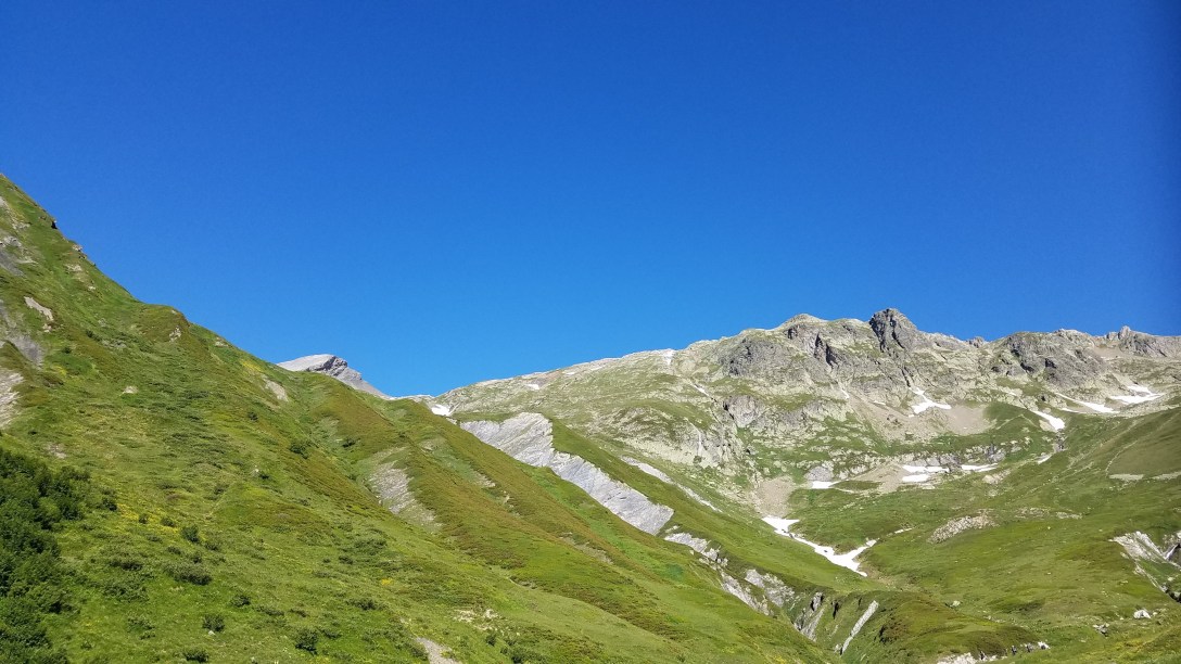
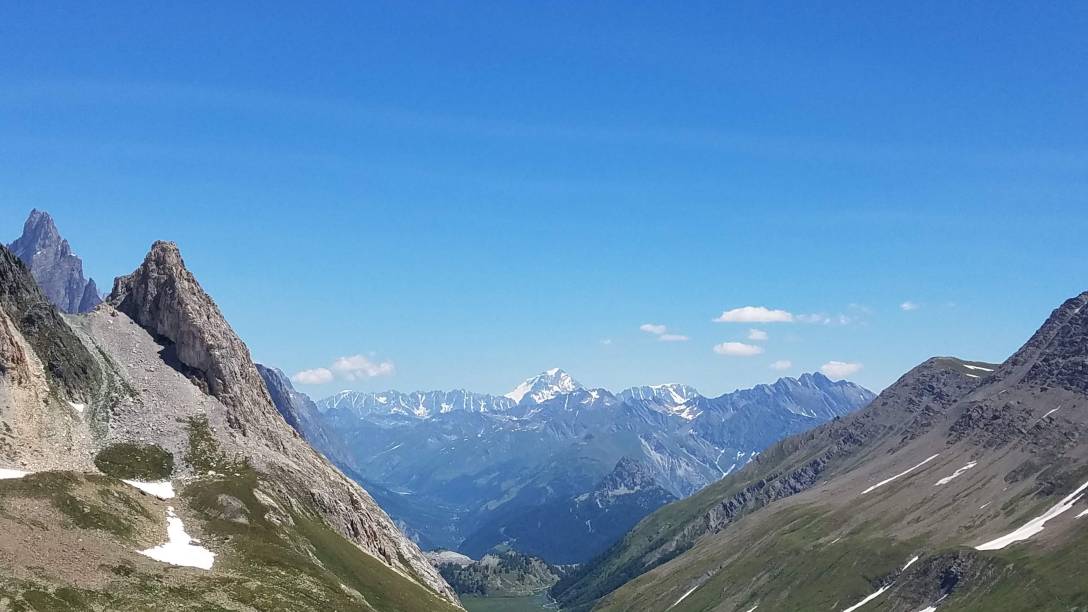
With Wayne, the lawyer from Australia, we headed back up to the Col and then started climbing for Col des Fours (2665m/8740′).
We arrived at the peak maybe 30 minutes later, and then started the long, ~2.5 hour descent to La Ville des Glaciers (1789m/5868′).


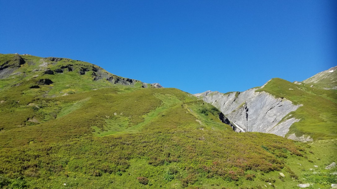
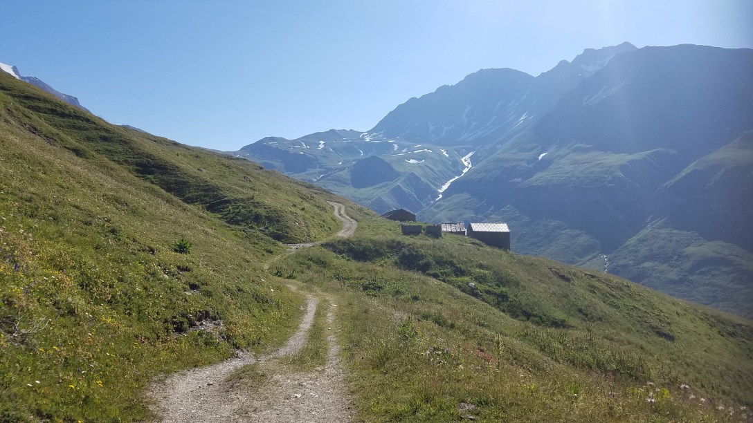
From there, the trail joined a single track road, which is the primary TMB route.

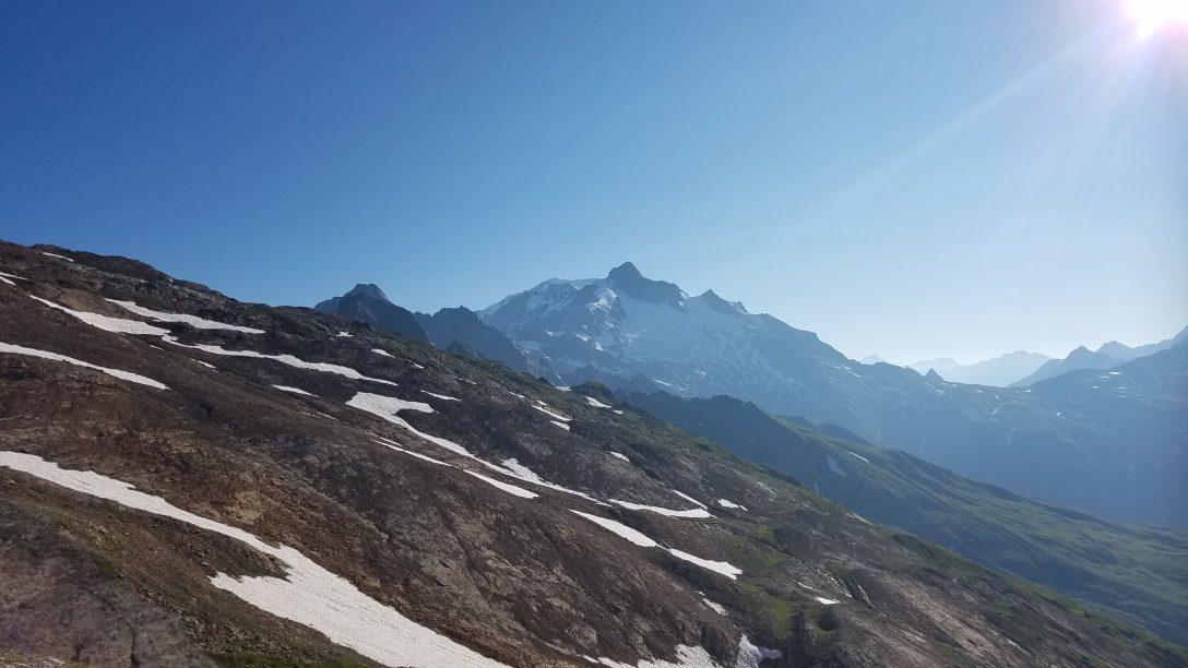
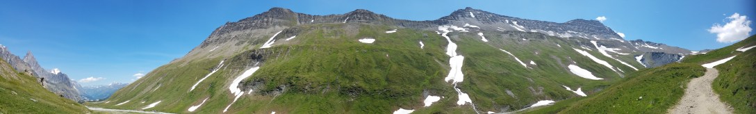
After a 30 minute road walk, we arrived at Refuge des Mottets. We filled up our water and had a solid snack before heading out for our final climb of the day, a 1.5-2.5 hour trek up to Col de la Seigne (2516m/8252′).


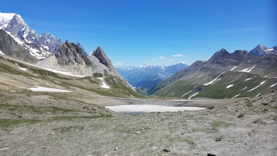

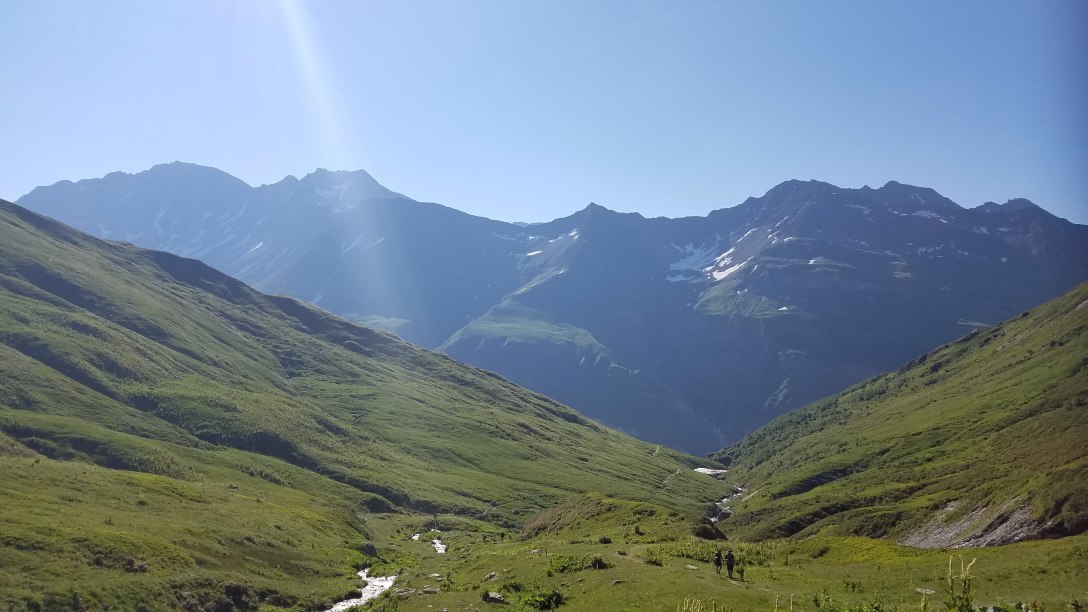
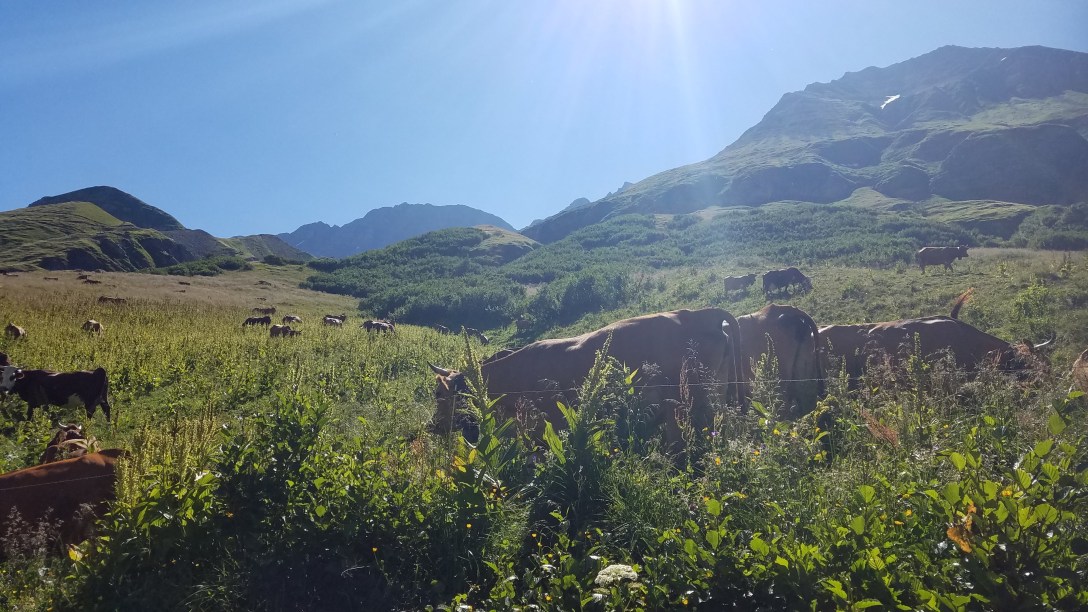
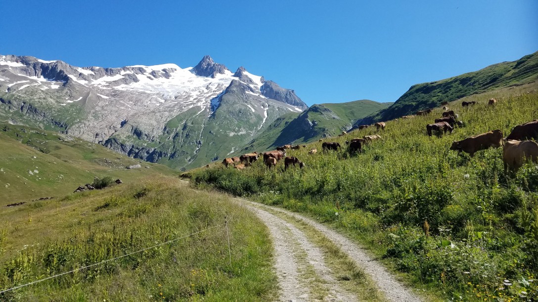
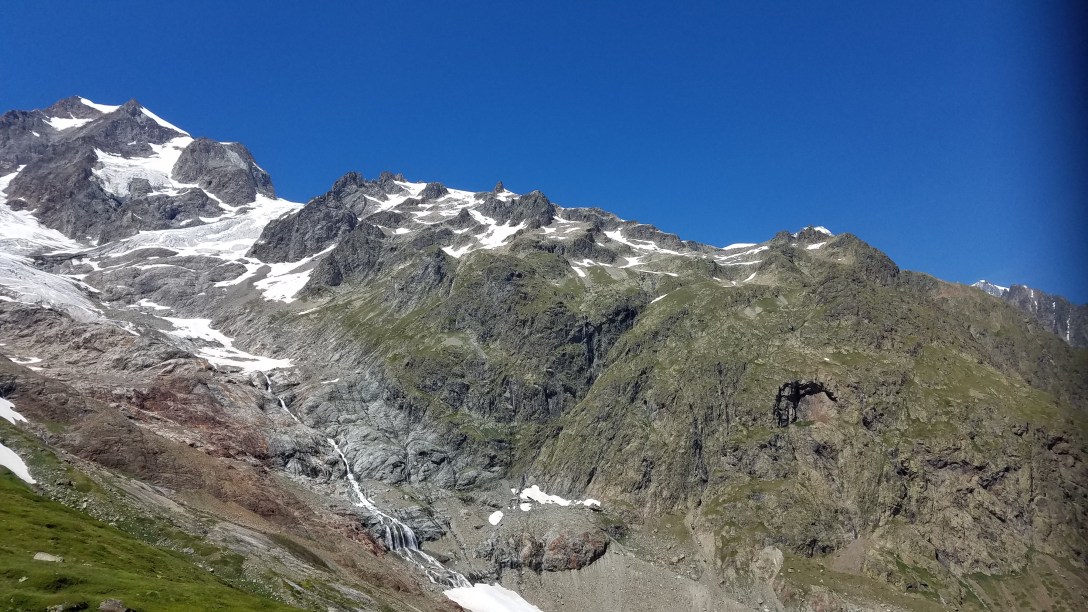
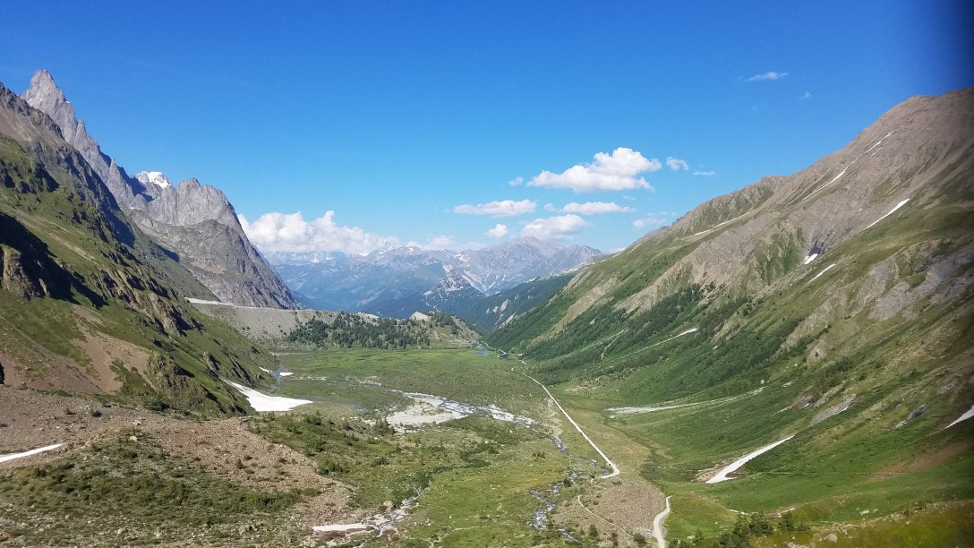
After cresting the Col and enjoying the amazing views, we headed downhill for a long slog. We passed by La Casermetta, which is a small museum, and finally got down to some flat land for a jaunt along the river before finally arriving at the Refugio Elisabetta (2195m, 7200′).


I arrived at 2pm and secured our bunks, and my hiking partner arrived at 4pm. We are in a bunk room with a huge triple-decker bunk set-up – 8 on the bottom, 8 in the middle, and 6 up top. It’s hip to hip with the person next to you. So it should be an interesting night. Thankfully, our bunk sandwiches are Michael and Wayne, so at least we know them! We had a delicious dinner and are hoping to start sleeping early, since we expect to be interrupted.


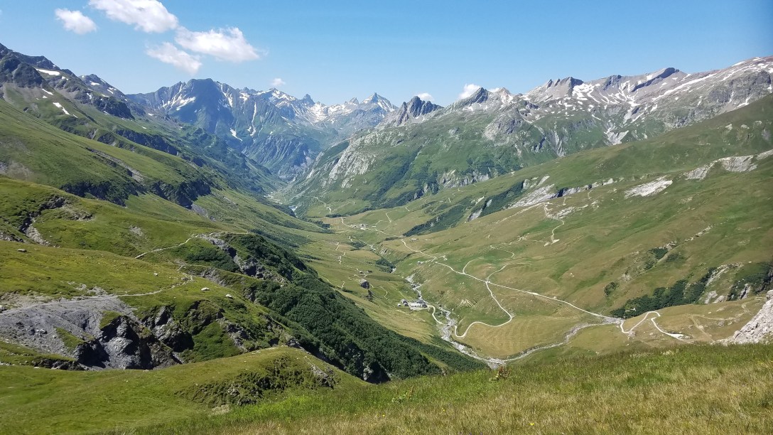
Hi! In the first few pictures I don’t see the trail at all. How did you know where the trail was and where to go?
LikeLike
Those are pictures of the views of the surrounding countryside, so there is no trail to see in those photos. On trail, the path forward was very obvious. I also used GaiaGPS to make sure we stayed on track.
LikeLike