Thursday, July 26, 2018
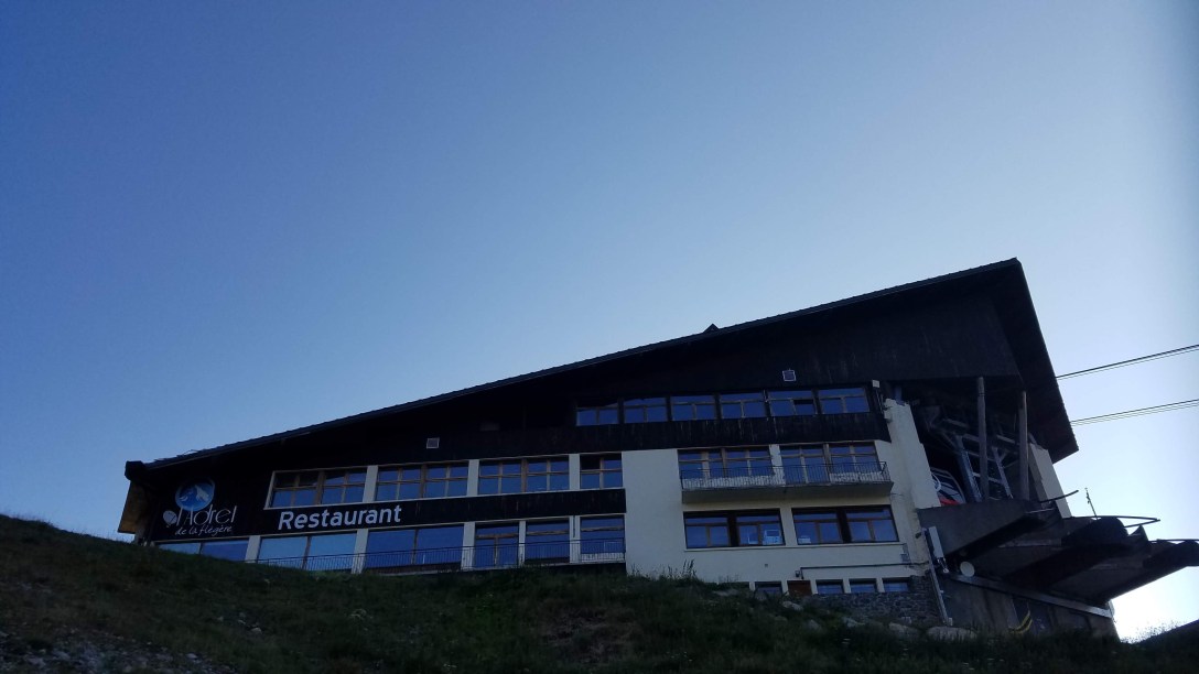
Start: Refuge La Flágère
End: Les Houches, Gite Michel Fagot
Mileage: 10.7
Elevation: 4294′ gain, 7086′ descent
Stage: 11
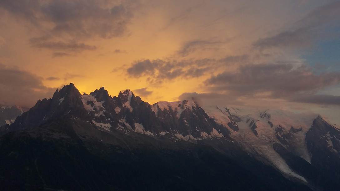
After a tasty dinner chatting with two Americans and then watching the sunset light descend Mont Blanc (along with a few dozen photographers with high-powered cameras), we headed to bed around 10pm.
There were three other people in our generously-sized room, and while they were quiet, two of them didn’t seem to sleep much. I woke up around 5am as dawn light started coming through the window. I dozed until 6am, when we got out of bed and packed up. We had a quick breakfast with the typical coffee, orange juice, freshly baked croissants, bread, cereal, and jams. After breakfast, we got our allotted liter bottle of water from the refuge. They say that their water isn’t potable (we drank it anyway, after chemically treating it) and only give you water at dinner and at breakfast. This honestly seemed a bit cruel, but it was what it was. Before we left, we said goodbye to Michael, as he was heading down to Chamonix via the cablecar to catch a bus, and exchanged info with Robyn, as she was going to be staying in Les Houches tonight as well.


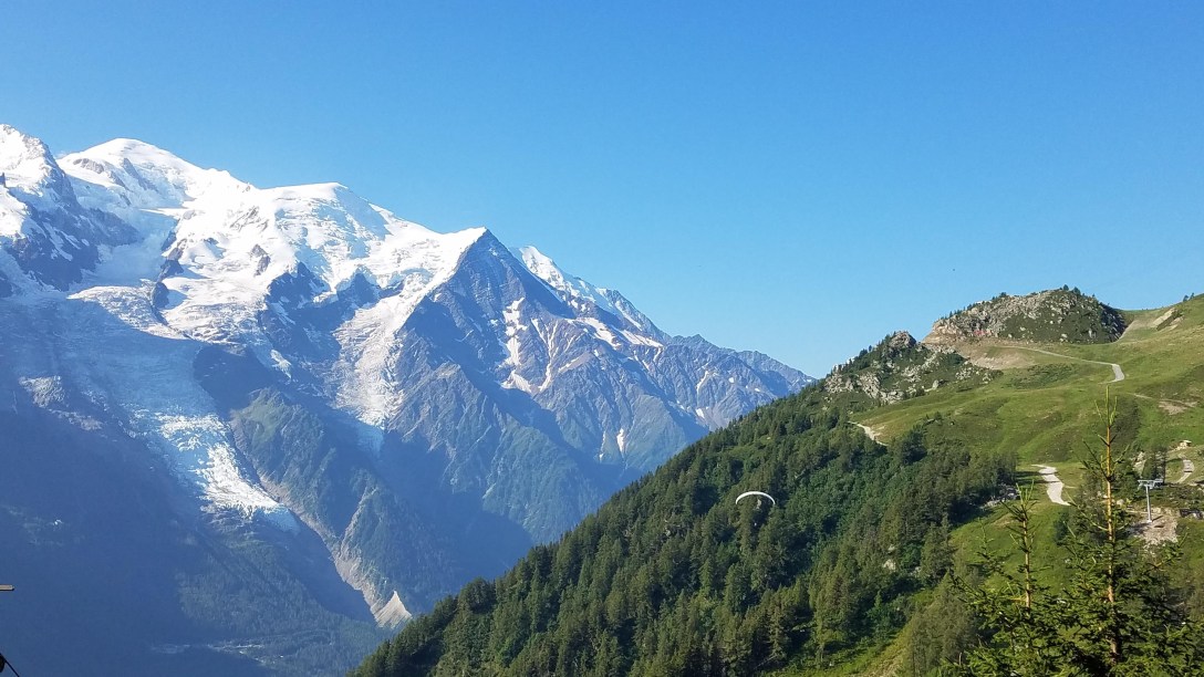
 The first hour or so of the day’s hiking was relatively flat or slightly downhill. As we approached Plan Praz and the cablecar station (2075m/6806′), we had to do some climbing up moderate switchbacks. As we walked, we got to watch early morning paragliders taking off from just below Plan Praz.
We swung by the Plan Praz restaurant to use their bathroom (thankfully, it wasn’t for ‘customers only,’ as their prices were quite high), though they also said their water was not potable. This past week, there has been a large jazz festival in Chamonix, so there was a jazz band warming up (for at least 45 minutes…) and then playing out on the lawn below the restaurant.

As Toby and I started climbing up the relentless switchbacks towards Le Brevént (each at our own pace), we could occasionally hear the tinkling of jazz piano above the sound of our own ragged breathing and the loud crowds hiking up to Le Brévent from the Plan Praz cablecar station.

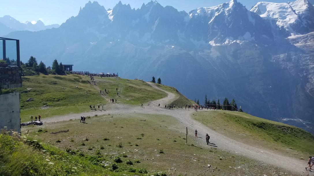
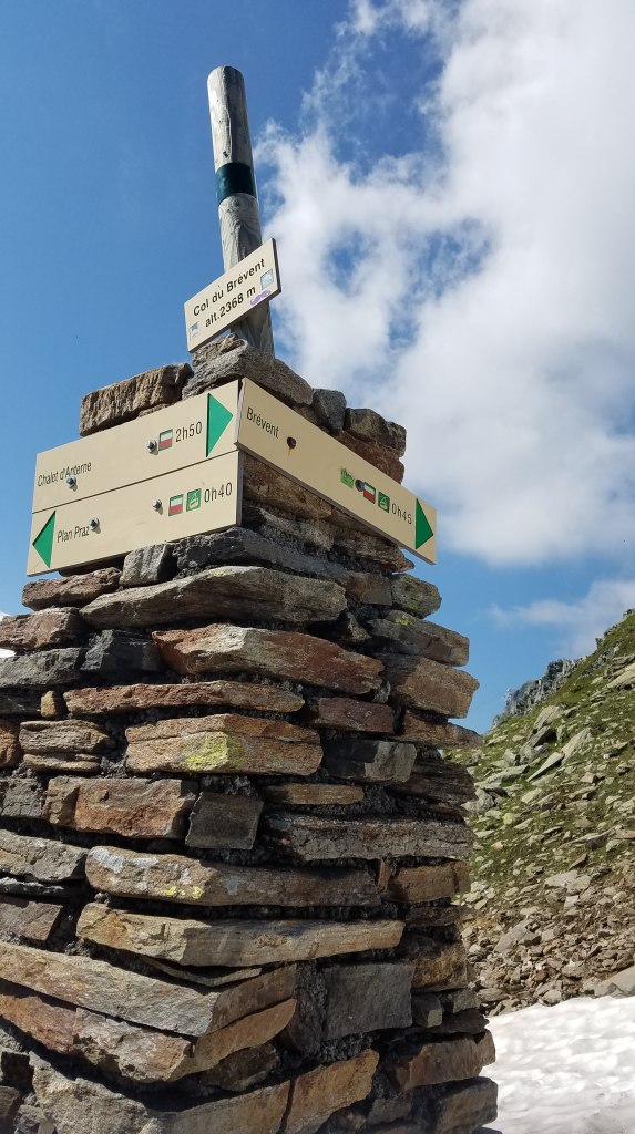
While the people who were climbing the trail were day hikers and not accustomed to trail etiquette, they were slower than us, as a whole, and so they were often resting off to the side of the trail, out of the way. There were a lot of people resting at the Col du Brévent (2368m/7767′).
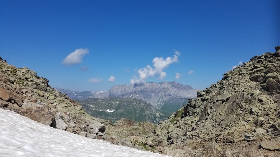

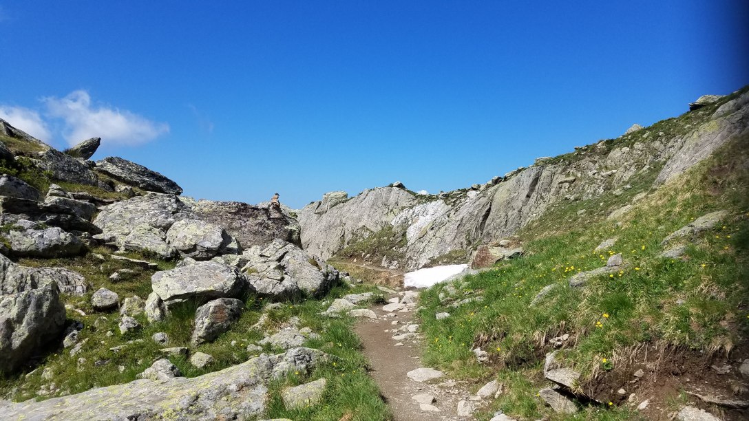

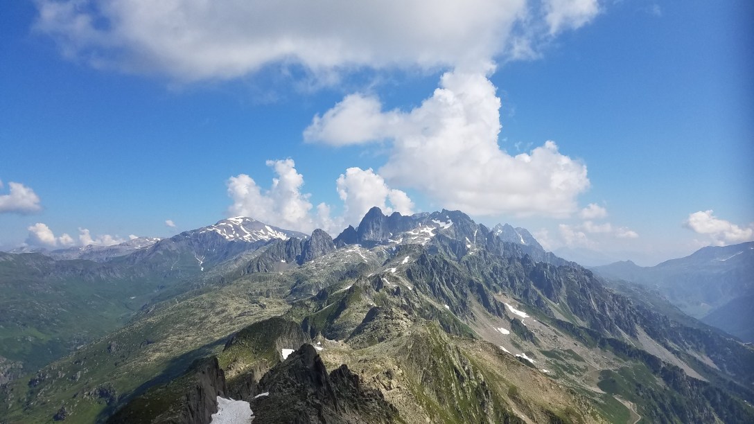
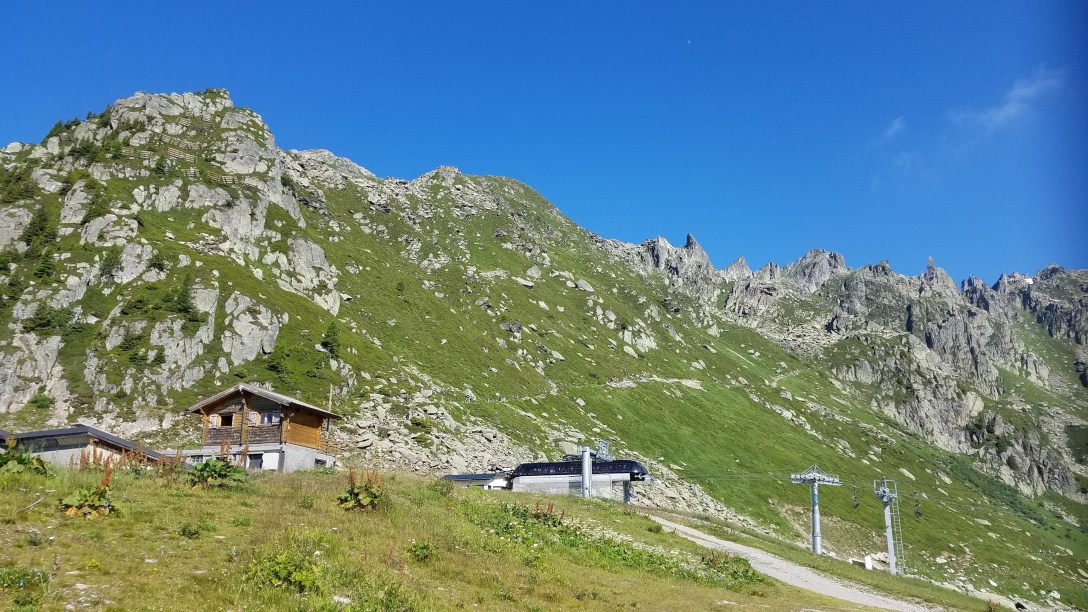
On the climb, the trail did require a few metal ladders and some metal handrails for a particularly steep and precipitous section. Once I arrived at the peak, I had a beer from the small cafe booth and relaxed, waiting for Toby to arrive. There was no potable water at Le Brévent (2526m/8285′), nor could I find public bathrooms. If you wanted water, you would have to pay ~6 euros for maybe 3/4 of a liter. Once Toby arrived there, we had a few crepes for snack and then started hiking downward on the long descent to Les Houches. Thankfully, we passed by a small mountain pool, where we filled up our water bottles and chemically treated the water.


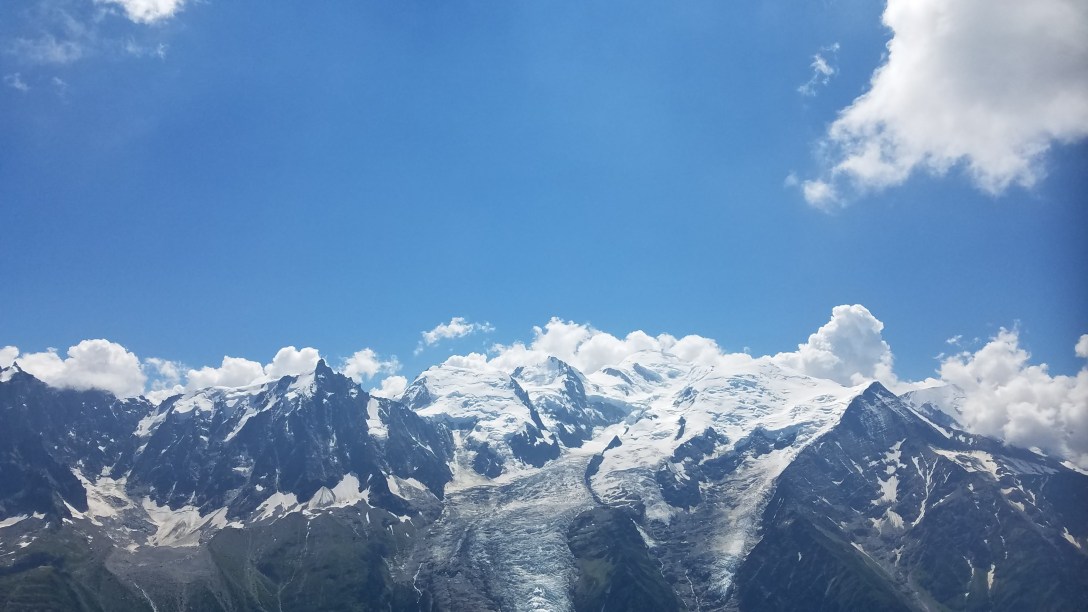
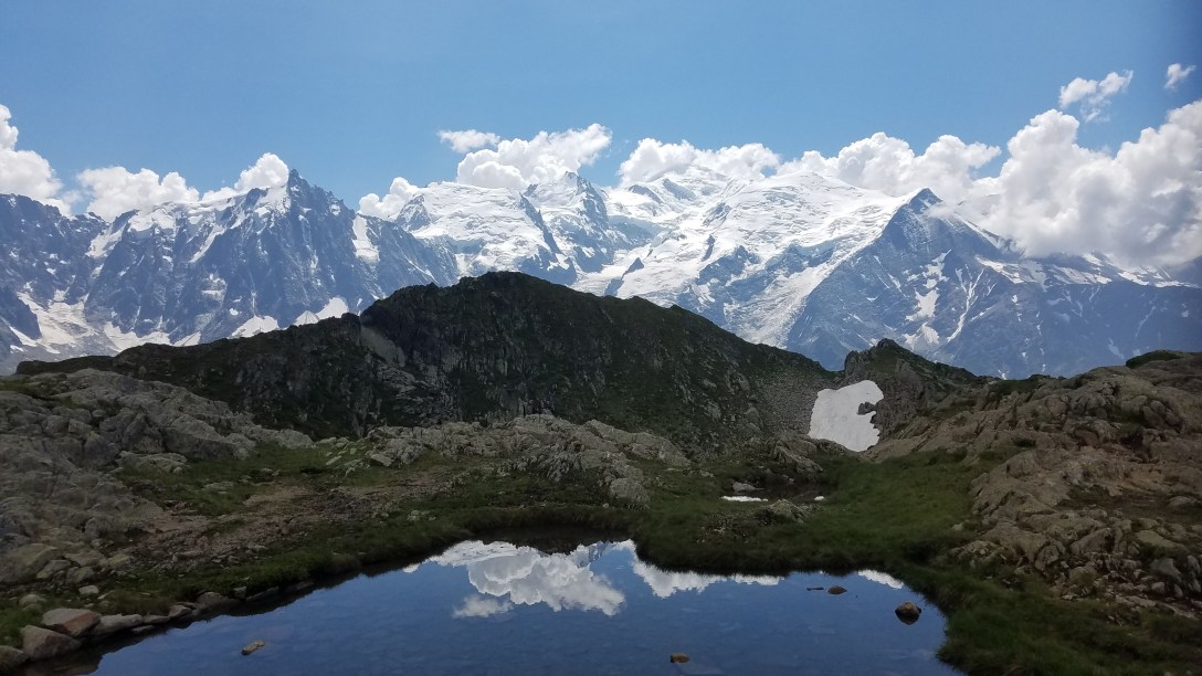
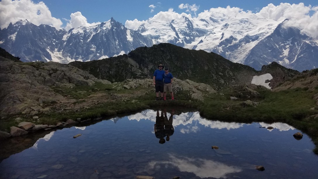
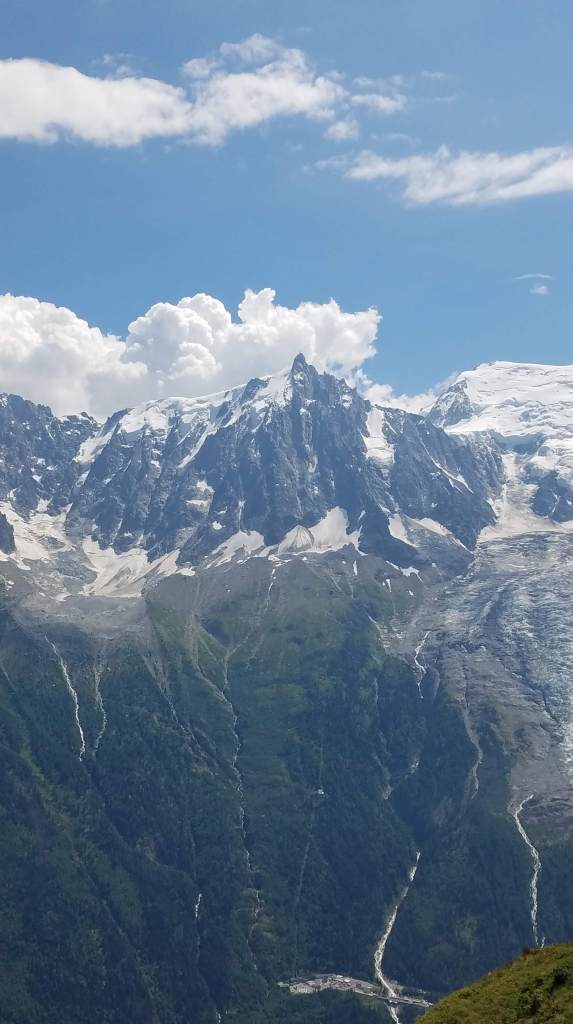
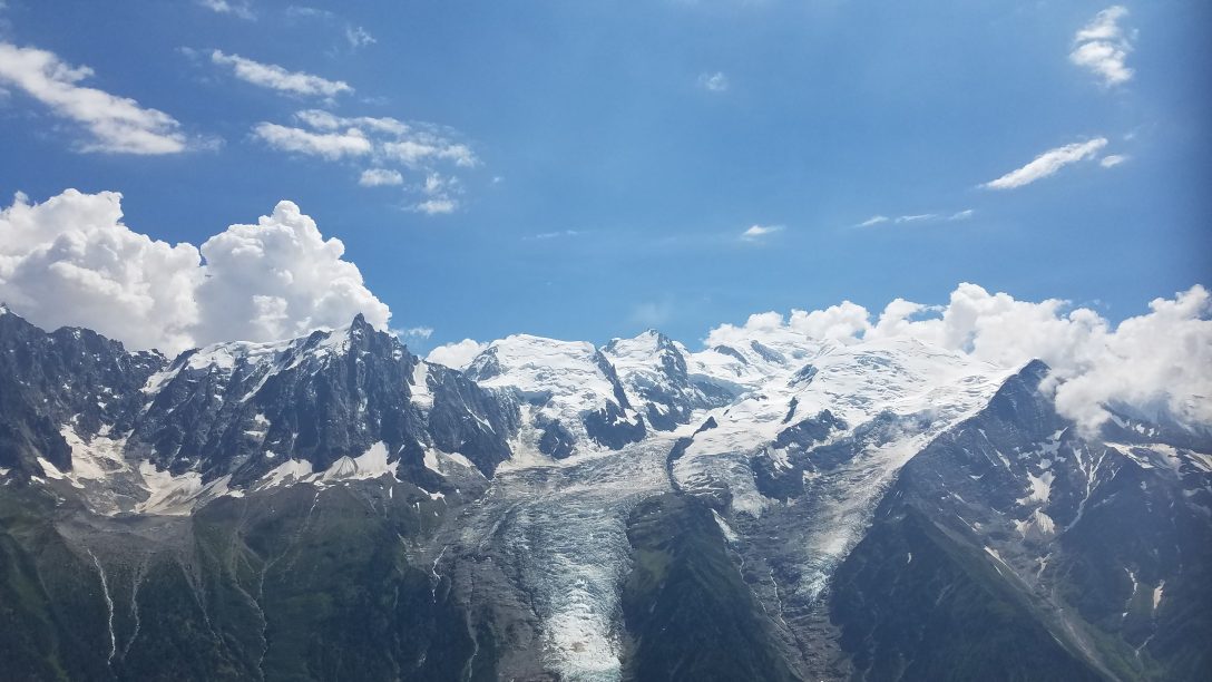
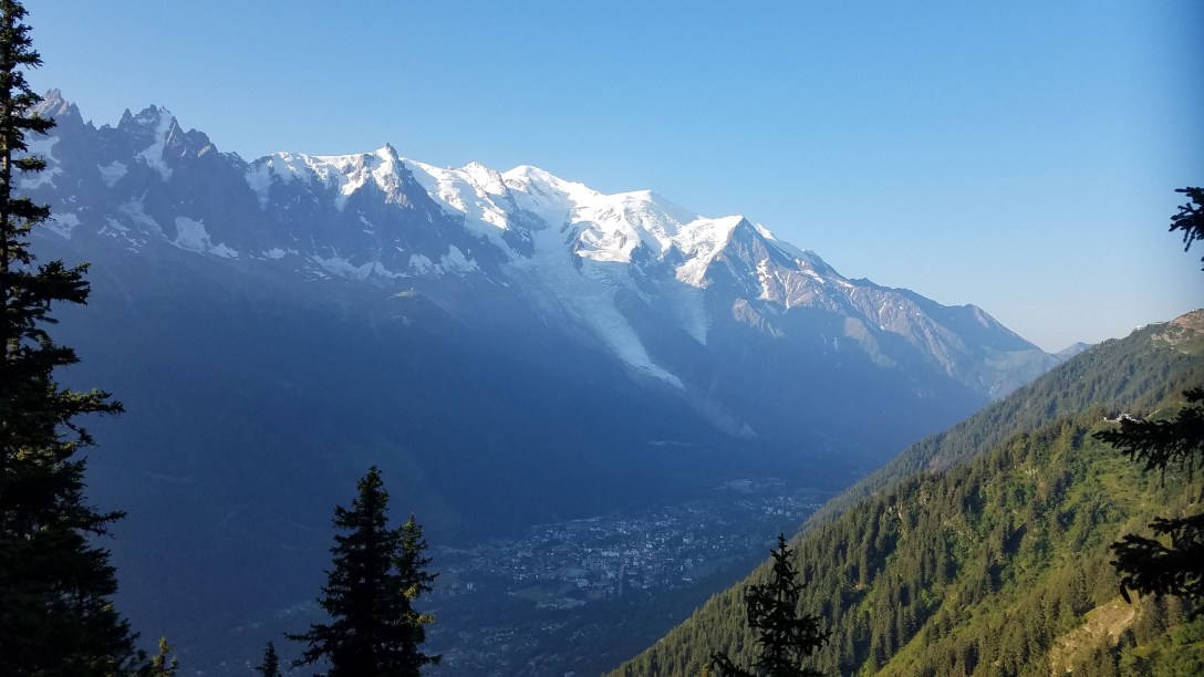
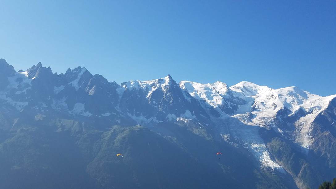
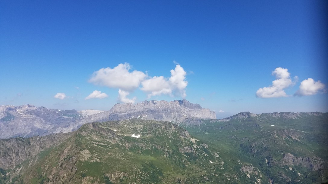
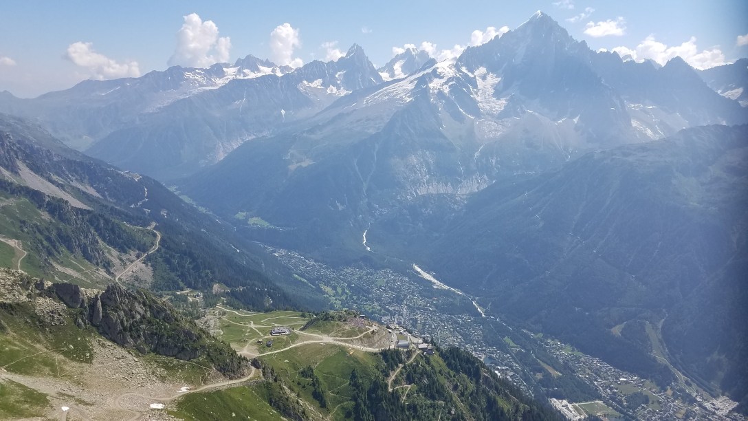
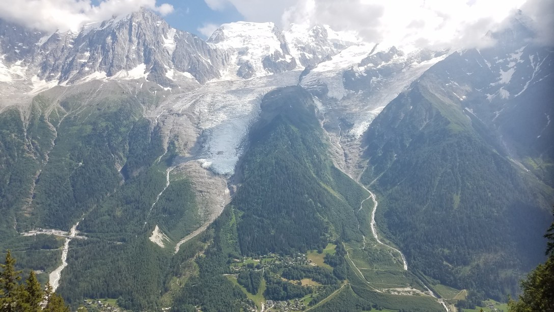
A few miles of descent and many beautiful views of Mont Blanc later, we came to Refuge de Bellachat (2152m/7059′). They had public bathrooms (squat toilets) but proclaimed that they had no potable water. We were hungry again and looking at another ~3 hours of hiking to get to town, so we had two omelets. With our meal, they did give us a pitcher of water which we drank, saving our treated water for the long descent after. As with much of the TMB, there was no shade for most of the day, and the sun was hot and the air, dry; these combine to make for a challenging situation when it’s hot, dry, sunny, and there’s no potable water.
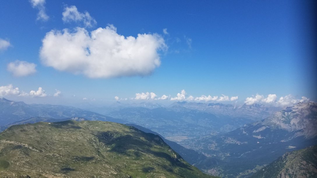
After lunch, we continued descending. It was another 4-1/2 miles or so to get to Les Houches from Refuge de Bellachat. Maybe 30 minutes after the refuge, the trail entered an area with trees, so shade was more available. As we were navigating a steep, narrow section with metal handrails, a storm rolled over the valley and towards Mont Blanc, and we heard a very loud thunderclap. Thunder in these mountains is amplified by echoing off of surrounding mountains, so thunder always seems close. This thunderclap put a bit of a fire under our tails to get to lower elevation and under tree cover in the forest lower down.
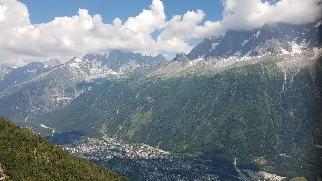

We got to the forest and descended through it, past the Parc Merlet Zoo and then the huge concrete statue of Le Christ Roi (1196m/3923′). Eventually, the TMB arrived at a road walk and dumped us out right by the Les Houches train station (1007m/3303′); we had walked to the Refuge Michel Fagot by this road almost two weeks before. This brought us full circle, completing our Tour du Mont Blanc! All said and done, we hiked 110 miles; Toby hiked 44,004′ of elevation gain (and subsequent loss) and I hiked 46,135′ of elevation gain (and subsequent loss).

From the train station, we followed the familiar road back to the Refuge Michel Fagot; since we had time before dinner, we stopped in at the grocery store and picked up travel snacks. Then we checked in at the refuge, got our bunks (in a room with only one other person!), showered, and had a delicious dinner. It was strange to see so many people about to embark on their own TMB trips; they were so clean and lacked the hiker shuffle. Our dinner mates were three people who are hiking the GR5, two from Utah and one from The Netherlands. Soon after dinner, we headed to bed.