Friday, August 10, 2018
Miles: 3.0
Elevation: 1215′ gain
GaiaGPS track
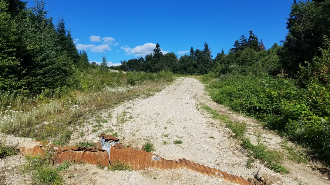
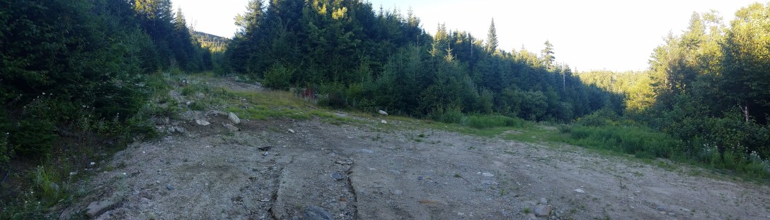
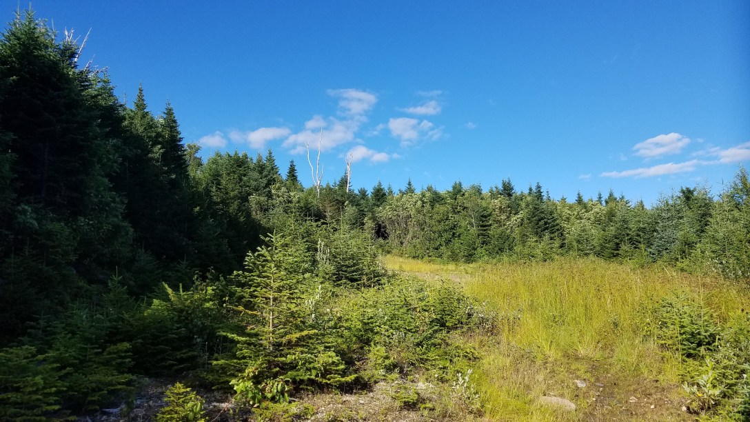
After setting up my Google Maps with the desired location, and downloading the map for spotty coverage, I drove out towards Elephant Mountain Rd. I passed by Andover, which brought back memories of my AT hike through in August 2015. Eventually, I passed by the AT road crossing on South Arm Rd. A little bit after that, I turned right down the unmarked Old Country Rd. After turning onto it, I wondered what I had gotten myself into – the road was sandy and strewn with rocks of all sizes. It was ~3.3 miles from South Arm Rd up to the trailhead for Elephant (be sure to look at it in satellite view), and I wasn’t sure my car with its low ground clearance would be able to make it. But I trudged forward, slow and steady. After a few minutes on Old Country Rd, there’s a major split; I stayed to the right. From here, it was around 2 miles to the trailhead. I made it around 1.5 miles before I balked at a drainage pipe that had rusted and curled up. I parked the car on the side of the road and walked the rest of the way.