Saturday, September 22, 2018
Miles: 16.7, total
Elevation gain: ~4,800′
GPS tracks: Mt Abraham; Mt Redington; Mt Sugarloaf
Start/end: Caribou Pond Rd, Carrabassett Valley, ME
On Friday after work, I drove up to Eustis, Maine. It was a 6 hour drive that took me through rural NH and ME, where I couldn’t find anywhere to eat during the last 3 hours except a few gas stations that were still open and a McDonald’s. I finally arrived at the end of the auto-accessible single track dirt road around 10pm (GPS pin). I set up my twin air mattress in the back of my car, got ready for bed, and cozied up for the night by 11pm. I had good sleep and woke up at 5:30am to pack up and prep for my hikes. I was moving by 6am.
First, I went the 0.5 mile on the gated dirt road to get to the Appalachian Trail crossing, where I left soda, apples, and cookies as trail magic for thru-hikers.

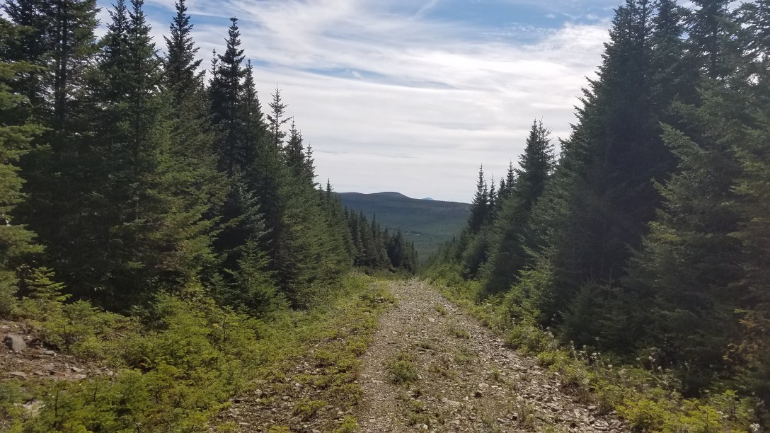
Right around there, I saw a fox crossing the road! Then I continued up the dirt road for 4-5 more miles, taking the left fork a mile or so more after the better quality road ended at a cul-de-sac (GPS pin).
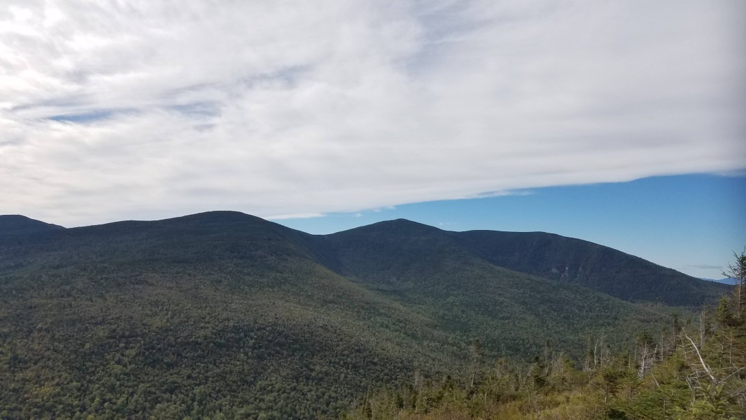
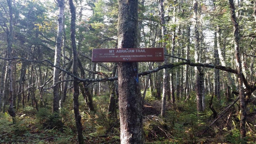
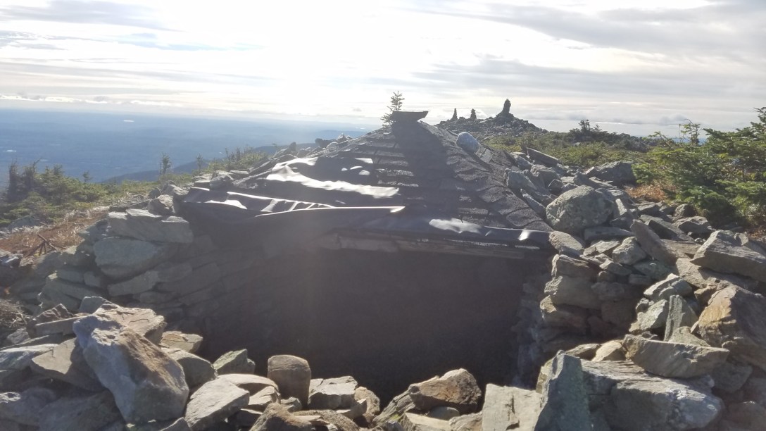
From there, I bushwhacked my way for a mile or so up to the AT. I saw some places where moose had bedded down, and managed to follow a few moose trails up the mountain, although I ended up in some tight spruce groves nonetheless. I ended up coming out right behind Spaulding mtn shelter, where I stayed overnight as I was passing through on the AT. I then hiked ~1.2 miles to the blue blazed spur trail for Mt Abraham, and headed towards the summit.


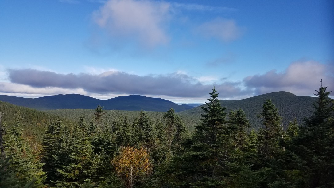
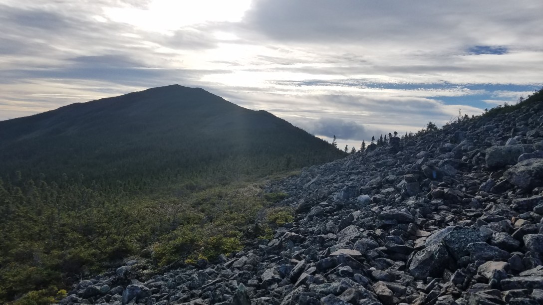
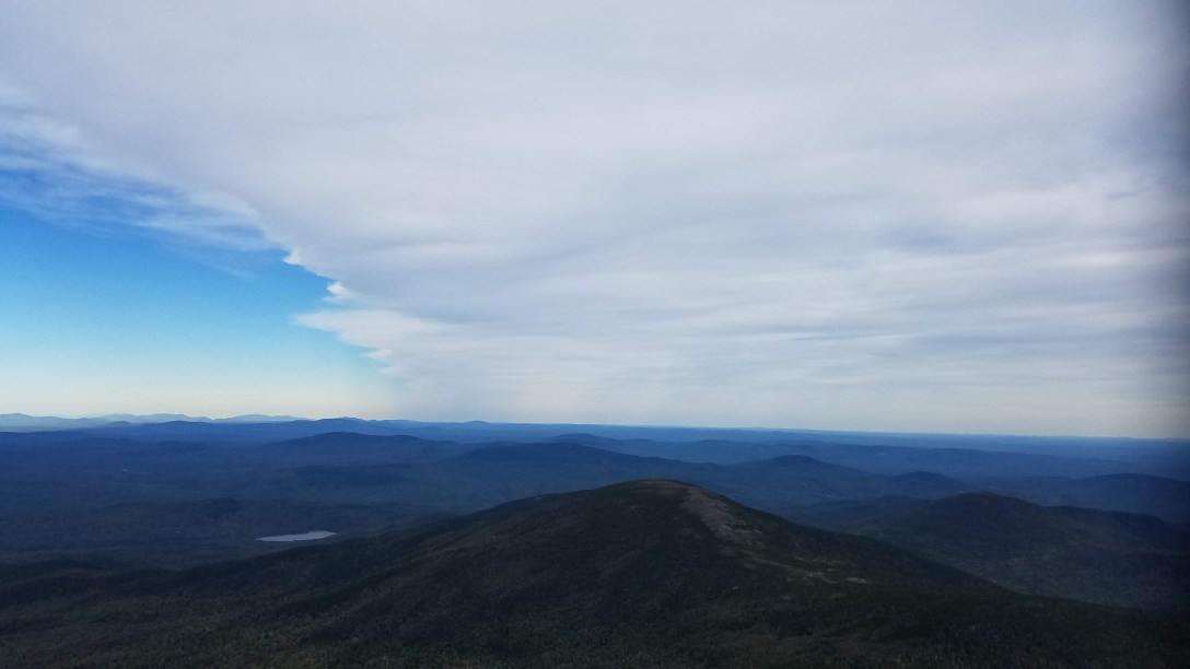
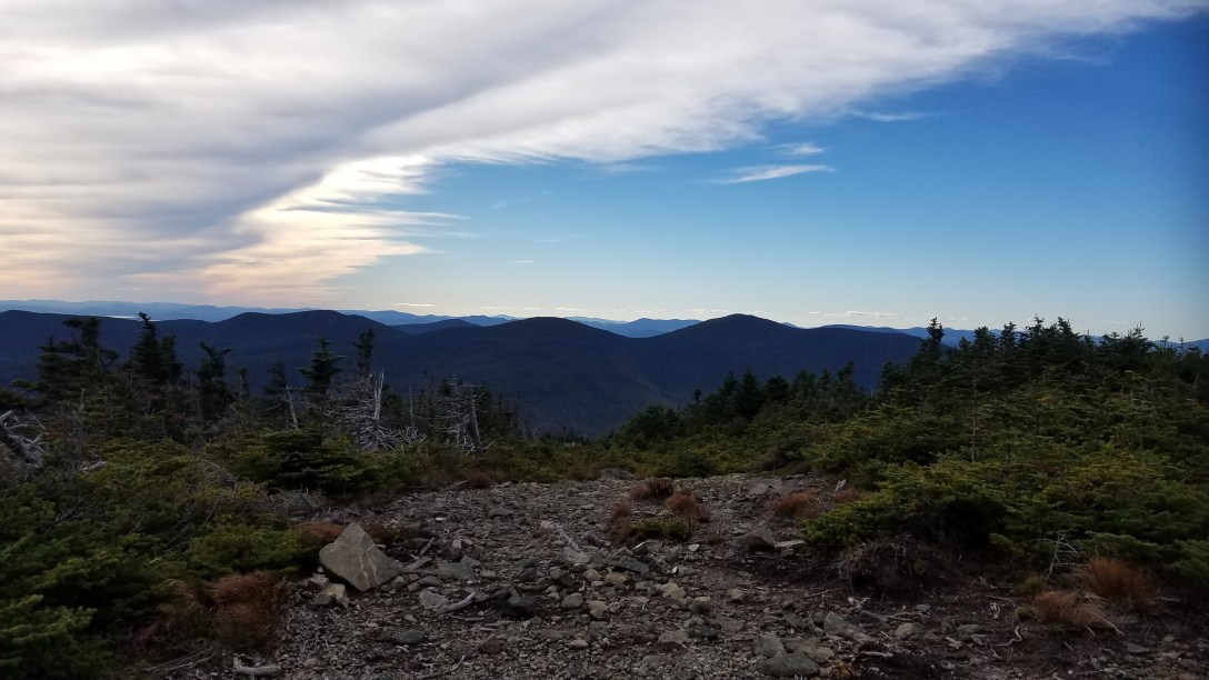
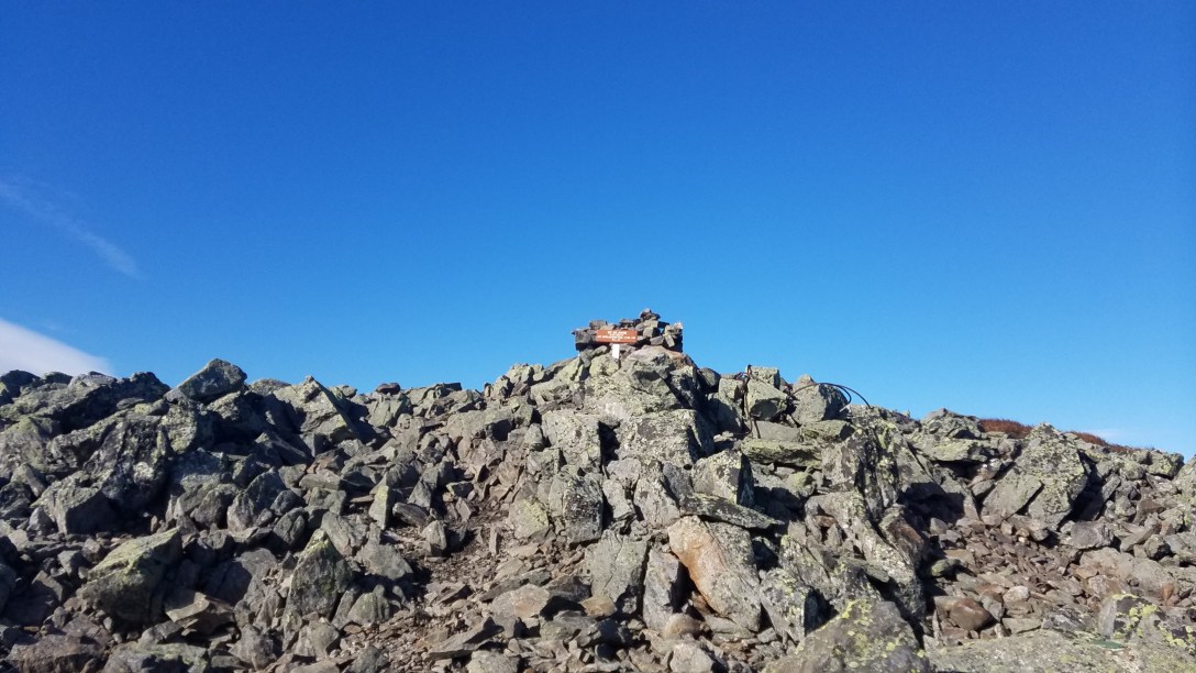
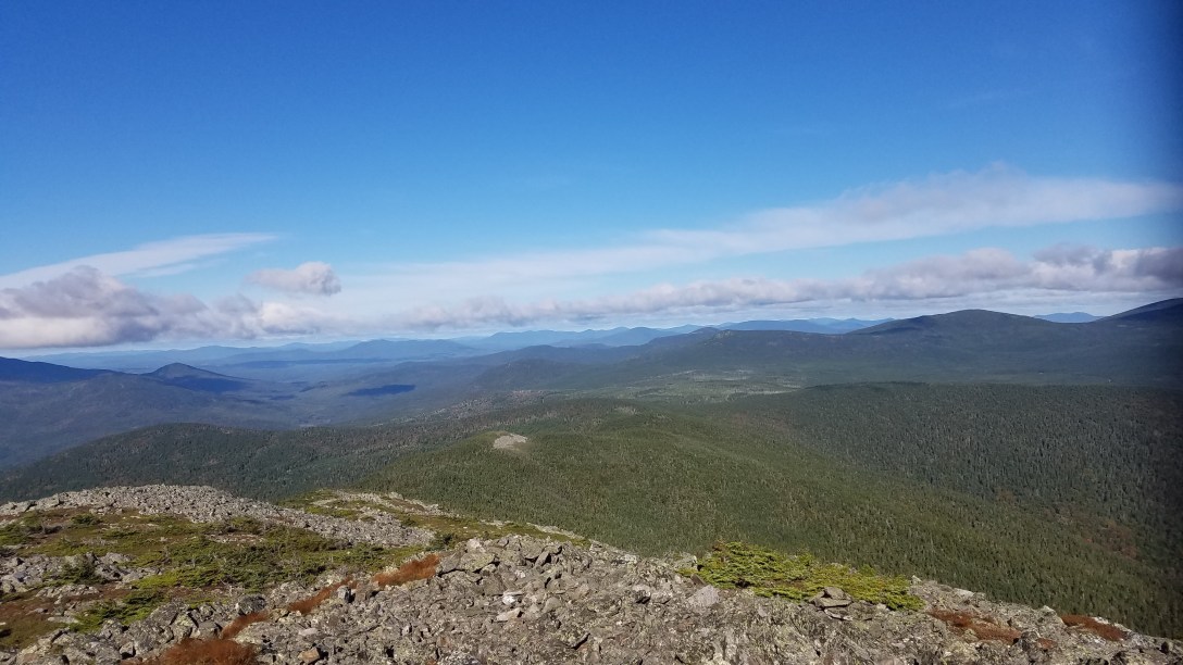
The higher I went, the worse the wind got. The day’s temperature ranged from 38-58 degrees, with wind gusts of 50+MPH above the treeline, resulting in below-freezing felt temperatures (20-40 degrees). I’d also forgotten my hiking poles in the car, so I didn’t have that added stability. I made it up to the summit of Abraham, after putting back on my shell and gloves. As it was, the wind chill was bad enough that I couldn’t feel most of my body once I got above treeline; and my jacket was loudy snapping in the wind. On my way back down, the wind was in my face and kept blowing my feet 6 inches sideways of my intended target. I fell once and got some bruises and scrapes for my trouble.
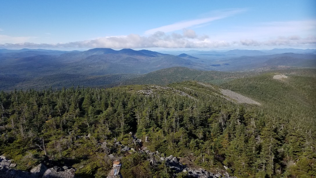
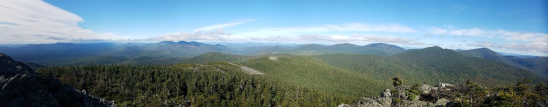
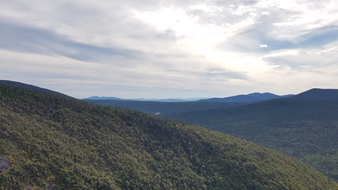
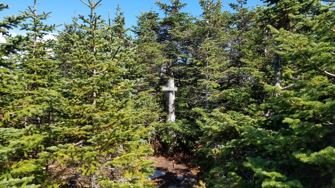
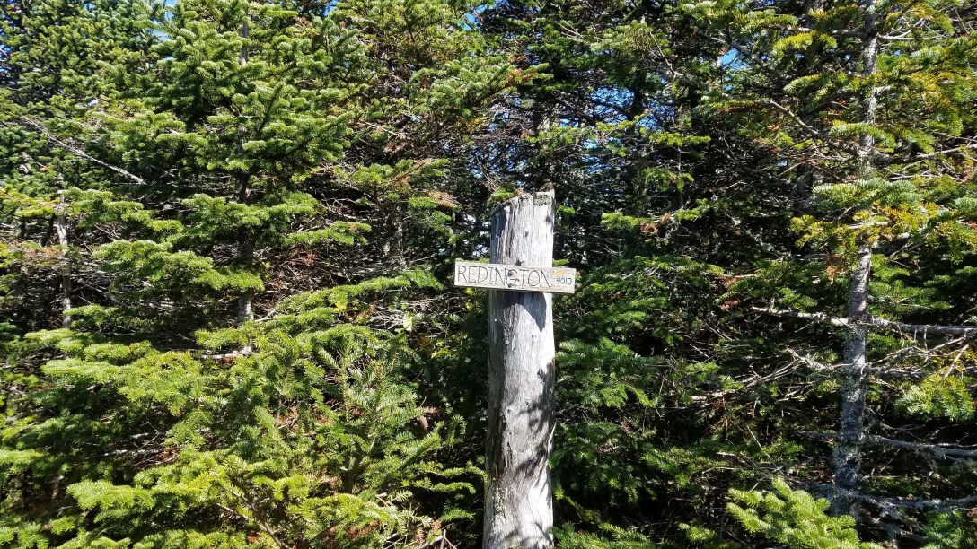
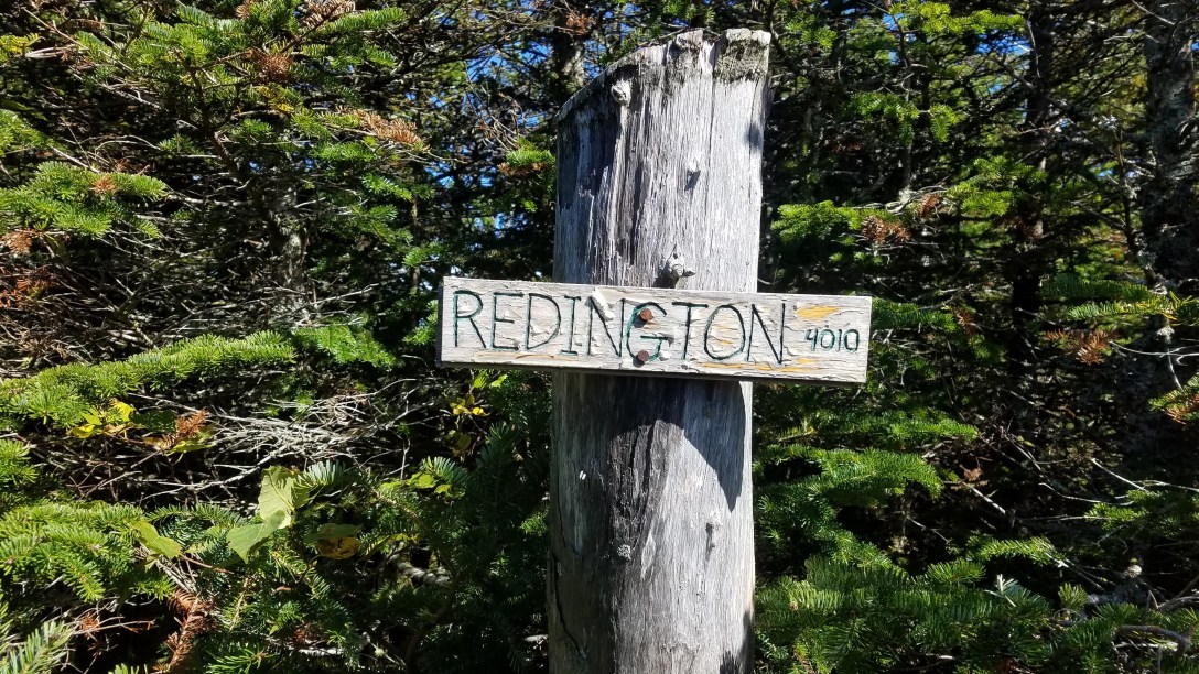
Once below treeline again, I headed back the way I came – down the spur trail, down the AT, and then a bushwhack back down. I was able to follow a moose trail the entire way back down. Once I hit the dirt road again, I went back the way I’d come. At the cul-de-sac, I headed up the right hand fork towards Redington. There were clear signs of the herdpath, with a large rock arrow pointing uphill at the turn off (GPS pin). From there, I just followed the orange ribbons (with my premade GPS track as back up) to the summit. It was a fairly quick and easy hike for a “bushwhack.” It took me 1.75 hours to hike the 3.9 miles round trip, which included 15 minutes of chatting with two other hikers I saw.
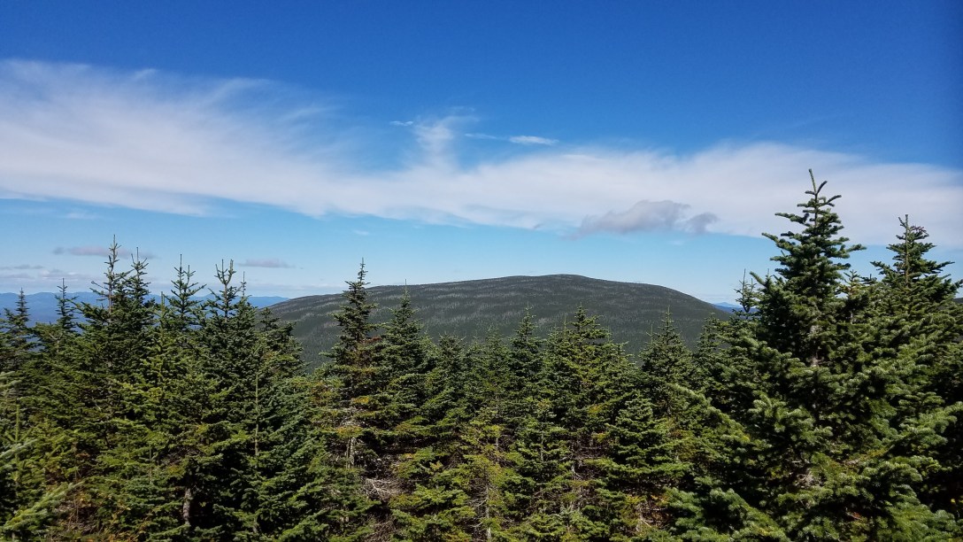


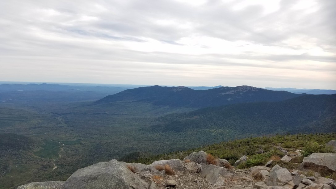
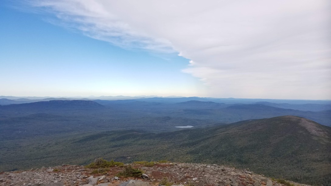
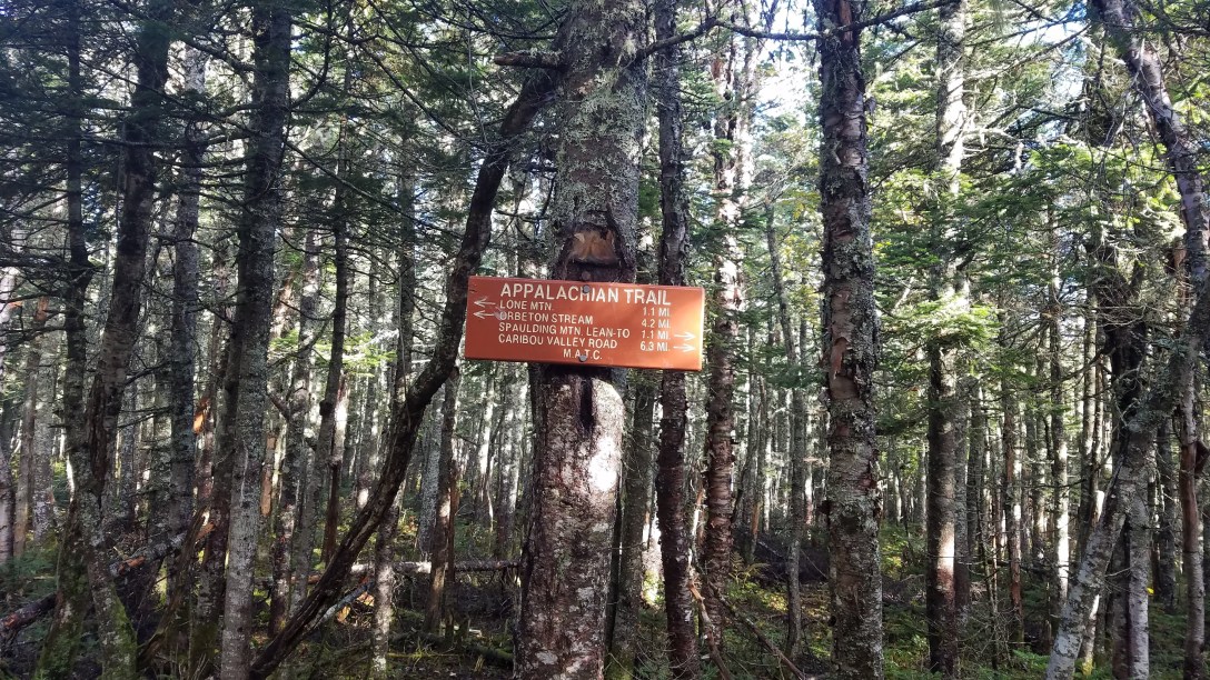
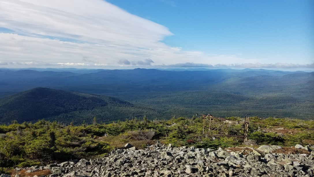
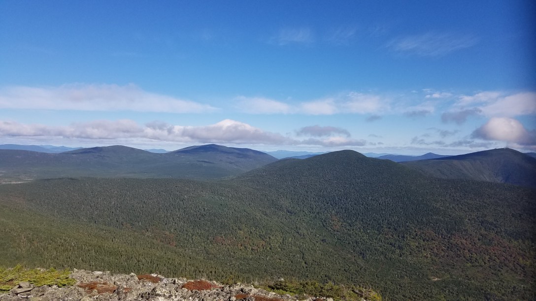
Once down, I followed the dirt road back to my car, past the AT crossing, to refill on water and retrieve my poles for my last hike. Then it was back to the AT crossing, where I chatted with a NOBO hiker for a bit and then pushed on into my third hike of the day. It was relatively straightforward, as I followed the AT for a few miles up to the spur trail for Sugarloaf. As I ascended, it got colder and more windy; at the summit of Sugarloaf, the wind was blowing 40-50 MPH again, so I didn’t linger. From there, it was back down the way I’d come. I arrived back at my car right around 6pm. I changed into dry clean clothes and then started driving the 6 hours home!