Saturday, May 30, 2020
Total mileage: 32.1
Total elevation gain: 8706′
I was up at 4:30am, and out the door by 4:45am. I swung by the town green, signed into the Saranac 6er register right at 5am, and then drove to the first trailhead.
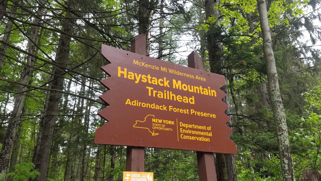
Haystack & McKenzie Mountains
Start/End: Haystack Mountain Trailhead, New York 86, Lake Placid, NY
Mileage: 10.7
Elevation gain/loss: 3063’/3099′
GaiaGPS track
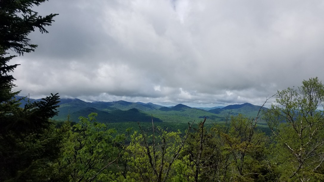
I started hiking at 5:15am, right around sunrise, as the first hiker in the parking lot. Everything was damp from rain and as I neared the McKenzie summit, it started to rain. The temperature was around 40 degrees and in only a t-shirt and shorts, my body started to chill quickly and my hands got clumsy. The rain stopped within half an hour but I was soaked through. As I headed back down, I ran into my first people of the day – a group of maybe 6 people from MA and CT without a mask between them. They made no effort to share the trail, and forced me to tromp into the bushes to avoid them. This began the theme for the day – trail running interrupted by inconsiderate hikers. I made it back to my car by 9:30am and headed to the next trailhead just down the road.
Scarface Mountain
Start/End: Scarface Mountain Trailhead, County Highway 32, Saranac Lake, NY
Mileage: 7.3
Elevation gain/loss: 1551′
GaiaGPS track
My phone had almost died on the first hike due to the cold temperatures, so I shook it dry, wiped it down, and managed to get it to start charging (won’t charge if there’s moisture in the charging port). Since I couldn’t wait for it to charge but didn’t want it to get wet, I shoved the phone and battery into a quart zip baggy and tossed them into my running vest. When I got to the trailhead, there was still parking spaces available in the small lot, but there were at least half a dozen cars in the lot. I packed more snacks and water and headed out at 9:45am. The first few miles were fairly runnable and I made some good time, aside from avoiding all of the people out hiking. The summit was wooded but there was a small view from a ledge near the top. It was overcast with heavy clouds when I started, but by the time I made it back to the parking lot at noon, the sun had come out. It was during this hike that I realized I was starting to experience armpit chafing, a completely new experience for me. I put on a ton of body glide and kept going, doing my best to reduce the rub from my wet shirt.
Ampersand Mountain
Start/End: Ampersand Mountain Trailhead, Saranac Lake, NY 12983
Mileage: 5.4
Elevation gain/loss: 1790′
GaiaGPS track
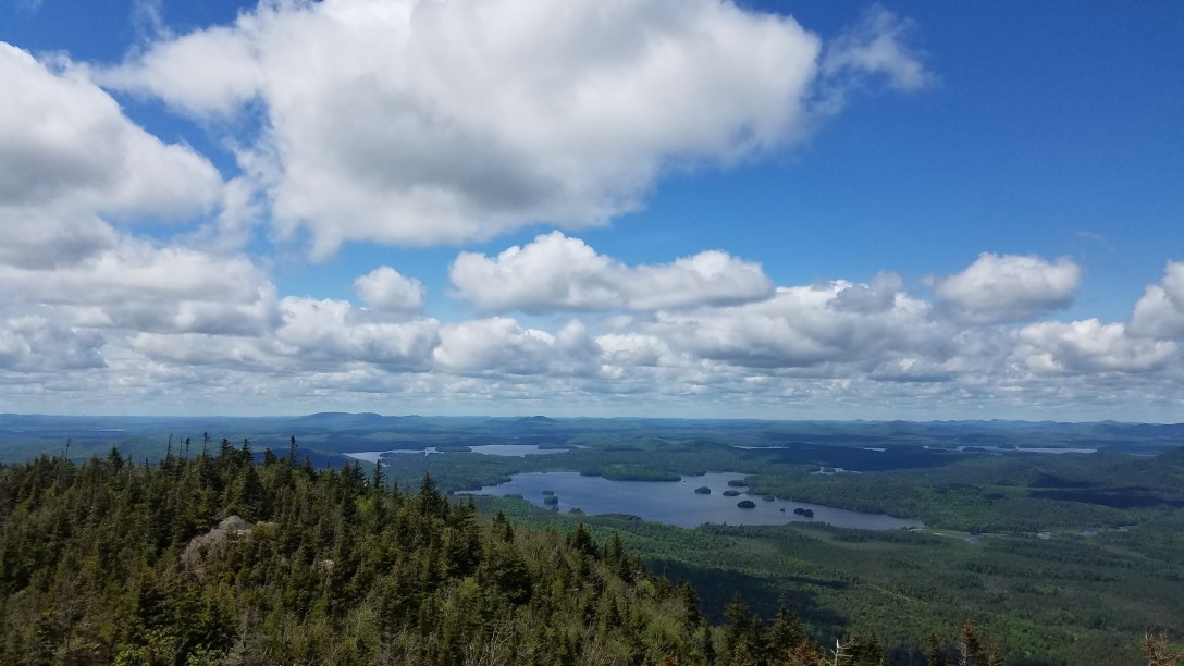
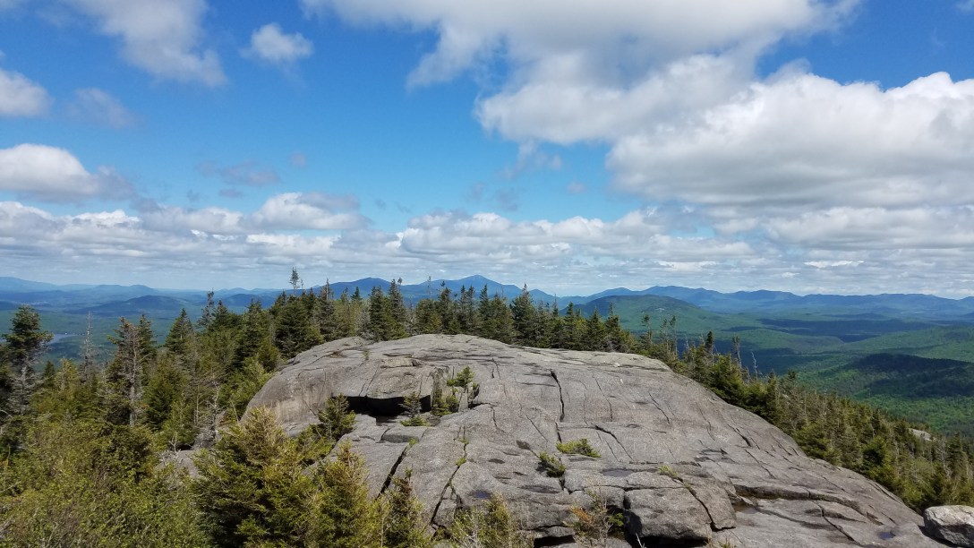
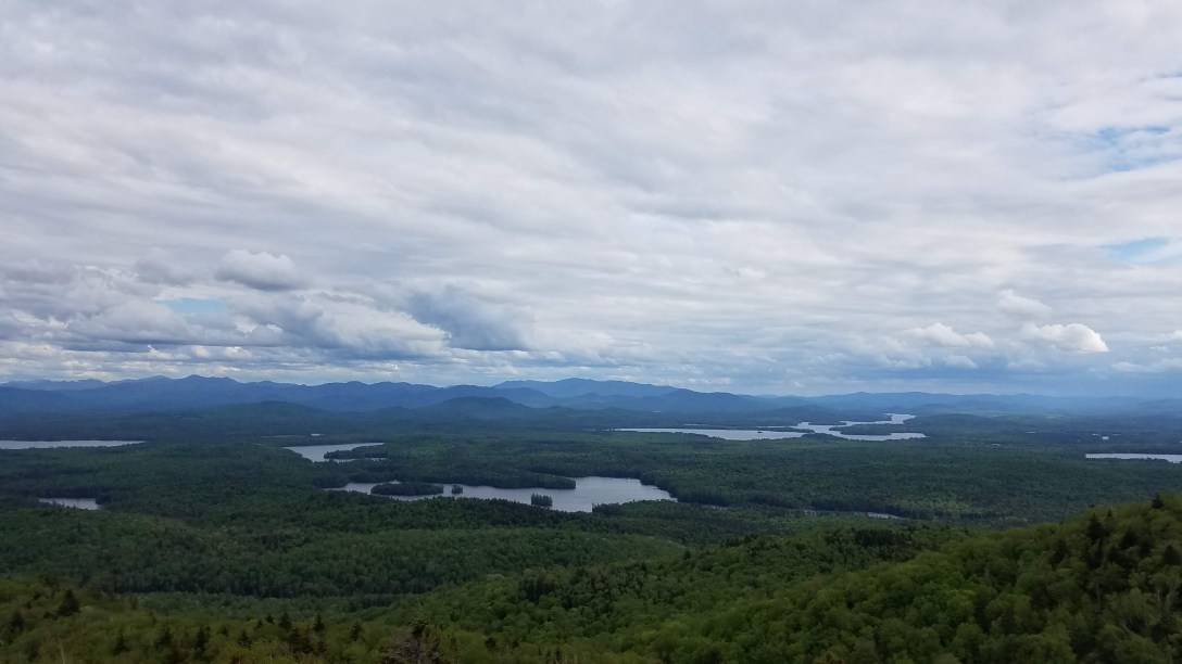
It was a bit more of a drive to get to the next trailhead and when I arrived at 12:30pm, it was packed. I managed to snag the last spot in the parking lot, which was just a small pull-off the main road. This was probably my favorite hike of the day. Despite the number of cars at the trailhead, I was able to dodge around all the hikers coming down from the summit or speed past the ones hiking up. I made it to the summit by 1:30pm and took a few minutes to take pictures and just soak in the endless views. It was only me and two other people at the summit and there was plenty of space to spread out. After that, I headed back down, passing by many of the same people I’d seen on my way up.

St. Regis Mountain
Start/End: Saint Regis Mountain Trailhead, Adirondack Park Preserve, Paul Smiths, NY 12970
Mileage: 6.9
Elevation gain/loss: 1603′
GaiaGPS track
This trailhead was the furthest out from Saranac Lake; I arrived at the trailhead at 3:15pm and waved off the hoards of mosquitoes from the nearby boat launch to adjust my socks and ankle braces. By this point, my skin was starting to complain more loudly about things like my armpit chafing and the small blisters I’d developed on my pinky toe from some dirt and sand that had made it into my socks, probably from the mud puddles I mostly managed to avoid… I headed out at 3:25pm and saw less than a dozen people all said and done, since it was later in the day and storm clouds were coming in again. I made the summit by 4:40pm and made it back to the trailhead by 5:30pm. On my way down the mountain, I saw that group of 6 hikers again. They waved, noting that we’d seen each other at most of the Saranac 6ers today, and asked which summit I had left; I said Baker and they said that summit was their final one as well. I honestly was very cranky, because I always ran into them when I was going downhill and they were going slowly uphill so I had to throw myself into the bushes and wait for them to slowly pass me.

Baker Mountain
Start/End: Baker Mountain Trail Head, 189 Forest Hill Ave, Saranac Lake, NY 12983
Mileage: 1.8
Elevation gain/loss: 927′
GaiaGPS track
From St. Regis, I drove back towards Saranac Lake without any doddling, because the storm clouds were building and I didn’t want to be rained on again if I could help it. My chafing was bad enough, I didn’t want to make it worse. I decided to carry my running vest up the mountain with me for all the pockets but didn’t bother filling up my water again and left my trekking poles in my car. I found a spot at the trailhead and headed out at 6:05pm, made the summit by 6:30pm, and was back at my car by 6:45pm, all done with the Saranac 6ers. I then drove back to the town green and signed myself out around 6:50pm. And like that, I was done. I headed back to where I was staying on a friend’s living room floor, feeding her cat while she was out of town in exchange for a place to crash.
11 hours trail running + 1.5 hours driving = 32.1 miles, 8934′ gain

