Saturday, June 20, 2020
Start: ME-26 in Grafton Notch, ME
End: Rt-16 in Gorham, NH
Total mileage: ~28.0
Total elevation gain: ~10,280′
GaiaGPS track (time is accurate, but my new phone put itself on power saving mode in the middle of my traverse, so many of the miles and elevation gain are missing)
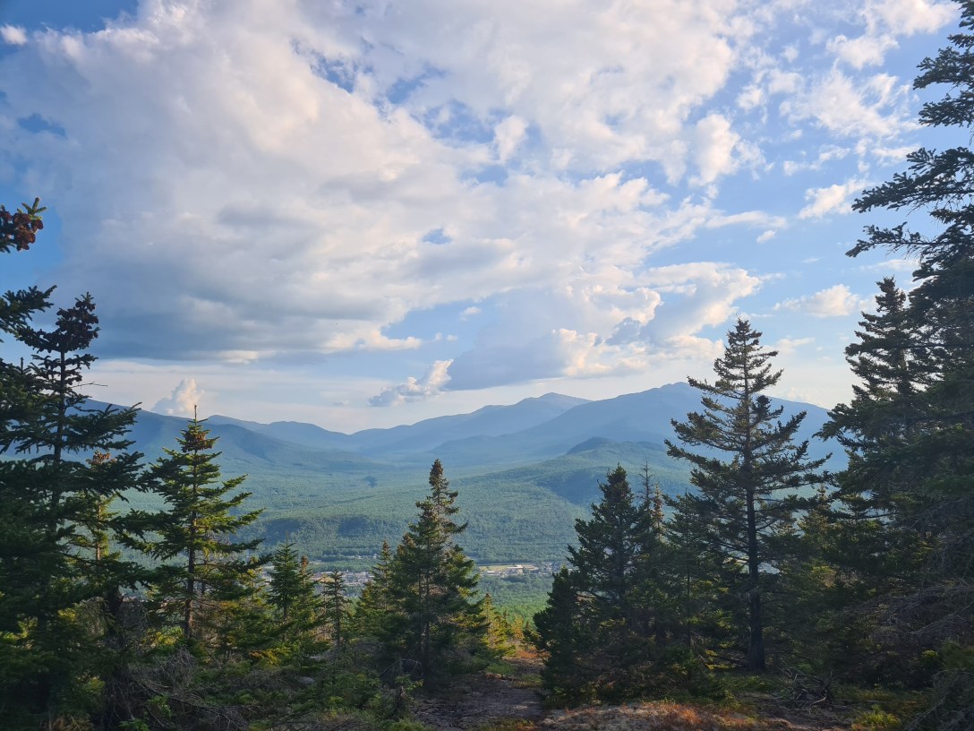
I drove up the night before and camped out in my tent for ~6 hours before getting up at 4am to pack up. I started out from the Appalachian Trail parking area at 4:40am and made it to the summit of Old Speck by 6:20am. I made it to Speck Pond by 7am and refilled my water.


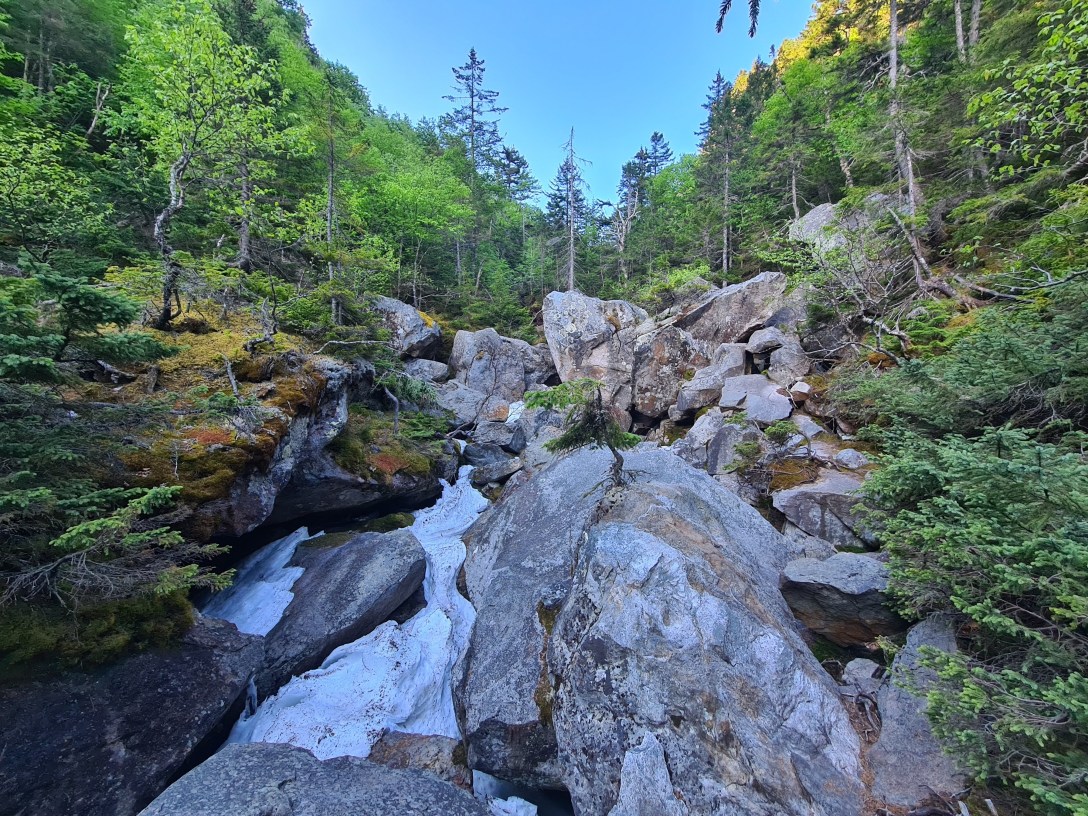
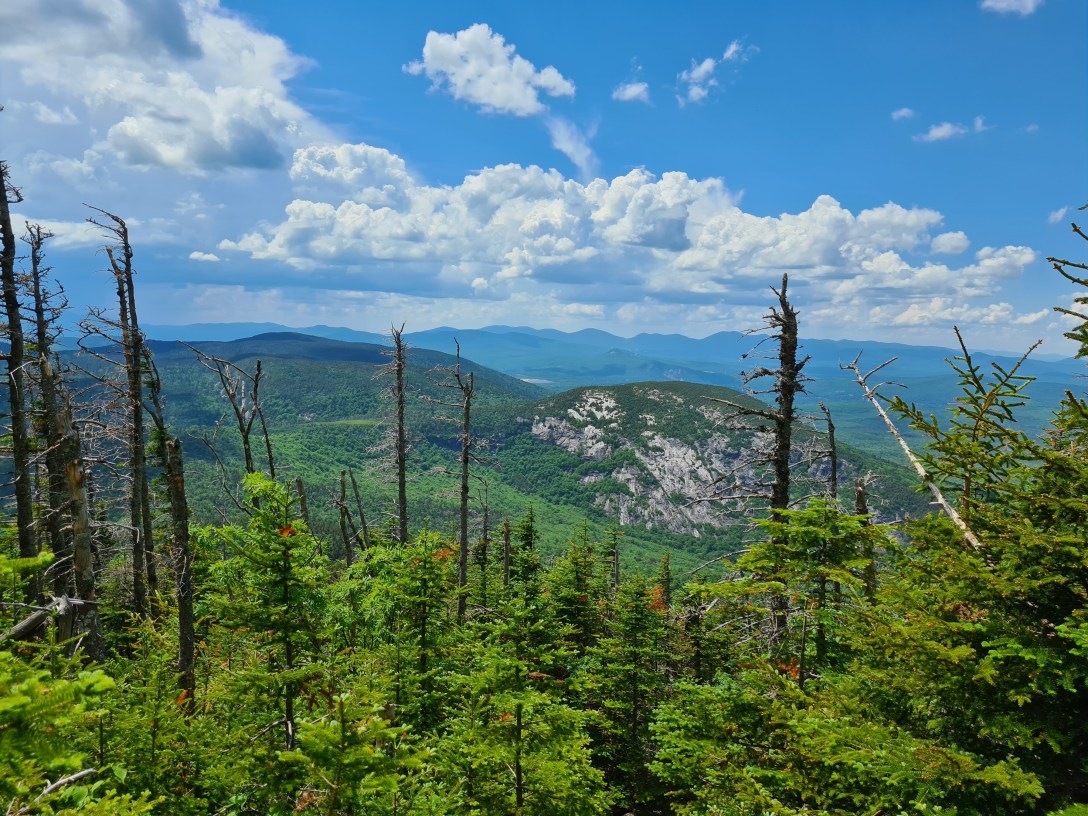
I summited Mahoosuc Arm and then descended into Mahoosuc Notch. I started into the Notch at 8:15am and made it out by 9:05am, cutting off 25 minutes from the first time I hiked through the Notch.

I went over South Peak and arrived at Full Goose shelter at 10am and went down the short side trail to refill my water again. I hiked over North Peak and Goose Eye, arriving at Goose Eye summit at 11:15am. I wanted to linger, but the bugs were even worse at the summits than in other areas, so I pressed on after reapply bug lotion. I knew I was getting a little bit of a sunburn on my arms, but there was only so much lotion my skin could absorb and bugs were a more present concern.

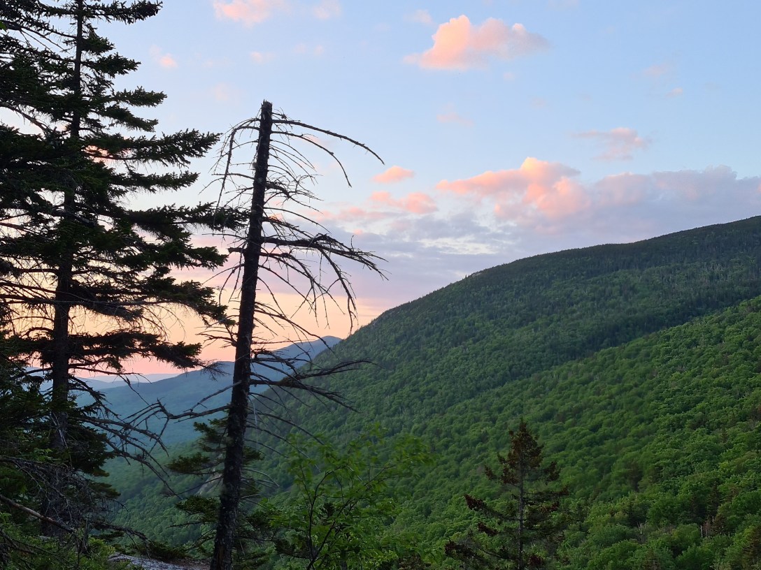
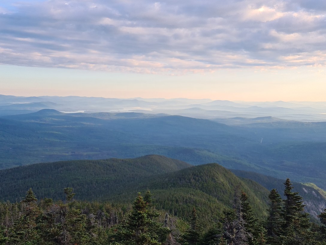
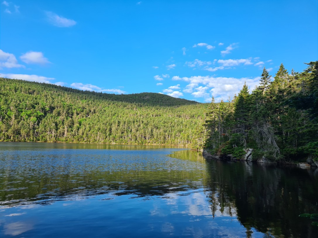
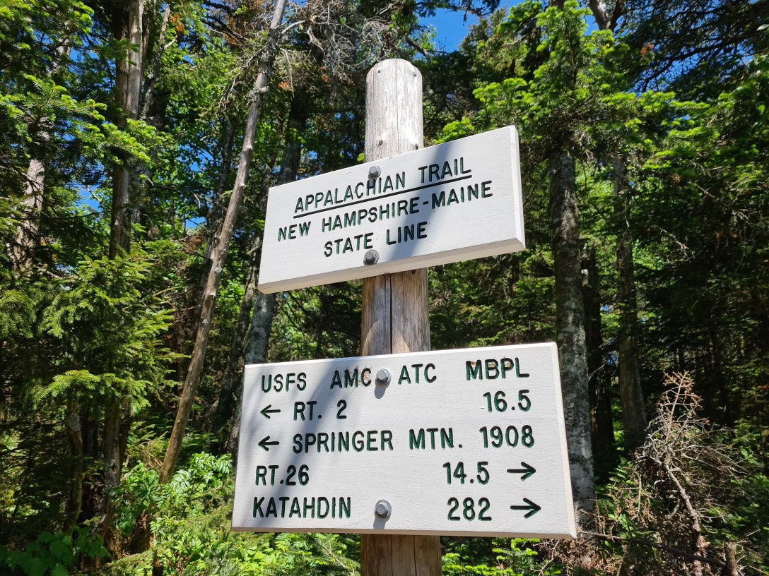
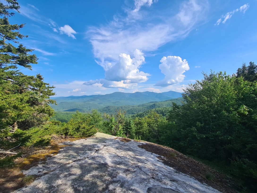
I went over Mt Carlos and past Carlos Col, up Mt Success, and to the NH/ME border by 12:25pm. I passed by Gentian Lake and stopped at Dream Lake to refill my water at 3:45pm, where I figured out that my phone had automatically turned on battery saver, blocking my GPS’ tracking. Between the border and Dream Lake, I encountered a few brief rain showers; I also heard thunder in the distance between noon and 5pm, though no storms went directly overhead. I went over Wocket Ledge, past Page Pond, over Trident Col, and arrived at the summit of Cascade Mountain around 5:30pm.
I pushed onward and made it to the summit of Hayes by 6:30pm. I then flew down the ~2,000′ of elevation loss, stopping once to refill my water, pursued by hordes of mosquitoes, to get to the old railroad bridge over the Androscoggin River by 7:40pm, exactly 15 hours after starting. I first went across the bridge on the ATV path and was unable to get down to the road and trailhead. So I went back across the bridge, found a herdpath to under the bridge, and found the hiker bridge that is nested directly underneath the ATV bridge, and that lead me to the hiker trailhead! I then called Rattle River Hostel and they arrived at the trailhead another 15 minutes later to shuttle me back to my car.