Friday, October 8, 2021
Start: B & M ski shelter
End: Davis Path trailhead/Rt-302
Miles: 21.61
Elevation gain/loss: 6690’/7500′
Mountains Climbed: just shy of Eisenhower, Isolation, Davis, Stairs, Resolution, Crawford
After a bit of a restless night with odd dreams and nightmares about bears and ATV riders, I was awake an hour before sunrise at 5:45am and on trail by 6:05. The shelter’s proximity to the river made for a colder night, but I appreciated the white noise since the Cog’s access road was just on the other side of the river and people were speeding up and down it for much of the evening. I shuffled along the remainder of the ski trails by headlamp, including a creek crossing where the concrete bridge looked like it’s been been gone for years. I emerged onto Mt Clinton Rd and walked the road to get to the Eisenhower trailhead. One car was in the lot and two cars entered just as I was passing through; they were dropping a car for a Pierce/Eisenhower traverse. I took off my headlamp and fleece layer at the trailhead and then pushed onward in the pre-dawn light. Halfway up, I passed by a man heading for the summit; close to the summit, I stopped to filter a liter of water. Once I made the AT, I passed over it and headed down into the Dry River Wilderness. As expected, the trail quality dropped rapidly and the terrain slowed me down. I passed one person heading uphill near Dry River and two people nearby Isolation and then I didn’t see anyone until Mt Crawford.
I took the spur to Isolation, since it’s a beautiful view and enjoyed a quick snack on the summit in the warm sun. The greyjay pair joined me for the last few minutes of my snack. From there, I headed along the cramped trailbed to the Mt Davis spur trail, where I dropped my pack and headed up to the summit. I then continued my slog along the ridgeline, eating a few pounds of spiderwebs and collecting more than 1/4 cup of pine needles in my pockets and down my shirt. I eventually came to the spur trails for Stairs and then Resolution; at each, I dropped my pack and hiked up. After Resolution, I found a bit more of a bounce to my step and tried to not think about how far anything was, but just concentrate on staying in the moment. I’d eaten almost every bit of my food, so I slowly nibbled through the last pack of crackers as I headed towards Crawford.
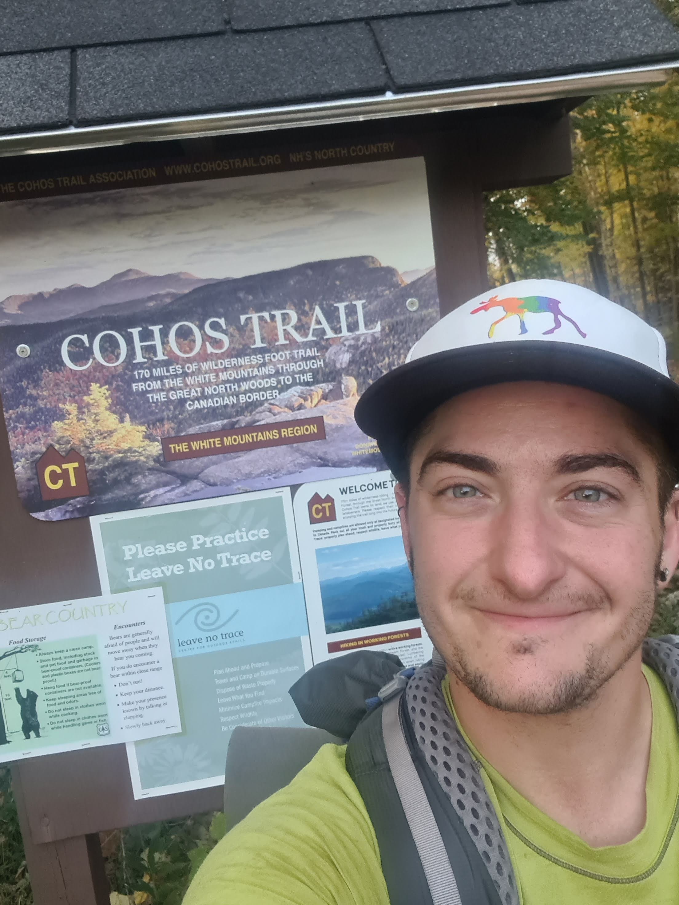
At the spur for Crawford, I dropped my pack again and headed up to the summit, where I saw a couple with their dog. I then quickly descended, grabbed my pack, and put what energy I could still muster into walking as quickly as my tender feet would allow me. I passed by one other hiker on my way to the trailhead; I was glad to get smoother trail the closer I got to the parking lot. Once I passed over the Saco River, I saw a woman by the Davis Path sign and asked her to take my picture with the sign. Then I headed to the parking lot, where there was one last Cohos Trail sign. I took one last picture with the sign and stopped my tracking right at 5:15pm.
I was so happy to see my car, untouched and in great condition. I fished out my car key and pulled out my car snacks. I’d pre-packed a change of cotton clothes and soap so that I could shower at Dry River Campground’s quarter showers before I drove the 4 hours home. I sat on my butt pad in the parking lot, removed my ankle braces and changed shoes. As I was getting ready to leave, Powerline emerged out of the woods and we had a joyous reunion. It was great to have someone else to celebrate with, and lament what a truly strange trail the Cohos was.

Thank you for sharing your FKT journey! It was nice to recall the trail through your writing!
LikeLike