Saturday, June 22, 2019
Start: Wedge Brook campsite
End: Ausable hiker parking
Miles: 20.65
Elevation: 8200′ gain, 9596′ loss
GaiaGPS track
After being kept up until around 10pm by brutally ruthless bugs biting me through my headnet, I was woken up at 4:30am by bugs in my ears. I didn’t sleep well between 10-4:30, either, tossing and turning and unable to get my joints comfortable. *sigh* At that point, I got up, packed up, and headed out, starting hiking around 5:30am. I summited Lower Wolfjaw, Upper Wolfjaw, and Armstrong, then dropped my pack thinking it was the trail intersection. I got to the top of Gothics 20 minutes later to realize that, nope, that wasn’t the correct intersection. Back down I went to get my backpack, summit again, and then head to the correct trail intersection, where I left my bag in the woods with my bear canister nearby.

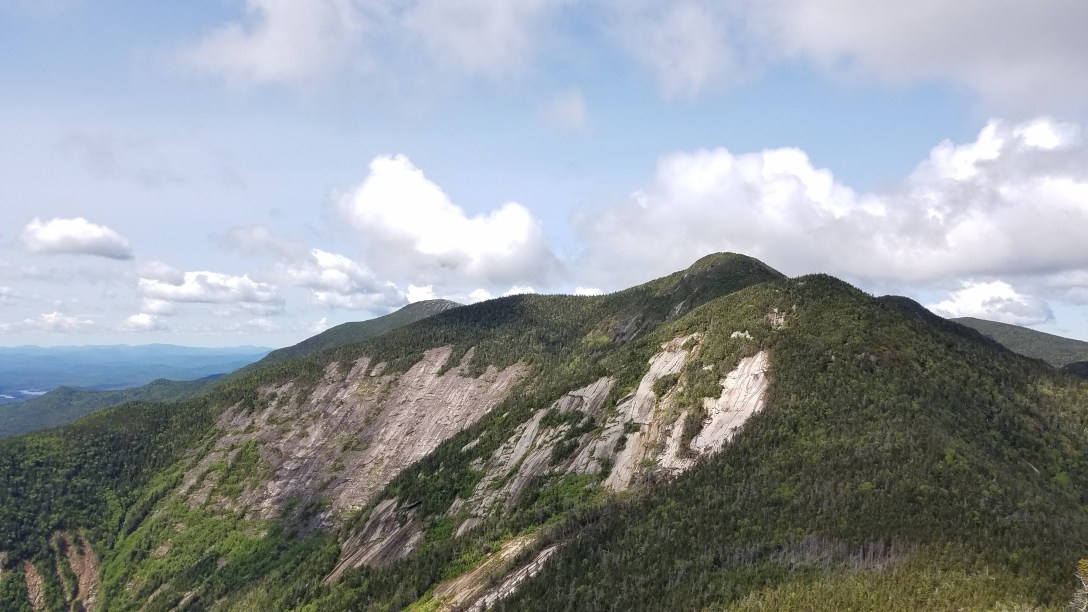
I descended Gothics, occasionally using the cables on the open rock face, but since everything was dry, I found friction climbing on the slab was fine.

I then climbed up Saddleback, getting some fabulous views from the summit. And then I went searching for the trail, and was somewhat aghast to realize that the trail goes down a cliff. I slowly and methodically down climbed the cliff, doing some wicked cool bouldering moves to make it work. I was so glad for my rock climbing experience; it made it scary but familiar to my body. I can’t imagine doing it without that experience. I then descended further, then climbed up to Basin’s summit. Then back down, past Sno-Bird campsite where I refilled my water, and then up Little Haystack and Haystack. Then it was all that in reverse: Little Haystack, Basin, Saddleback, and most of the way back up Gothics.
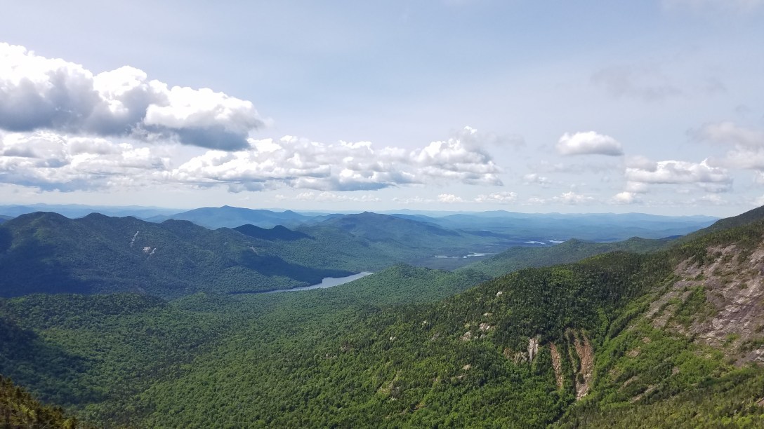
I grabbed my full pack and bear canister, and hiked down and over to Pyramid. Then it was down for a bit, to get to the col between Pyramid and Sawteeth; I dropped my pack and scampered up Sawteeth. Then it was back to grab my bag and descend all the way to the dirt road leading to the Ausable Club.

Once I hit the road (around 7:30pm), I considered my options. If I camped out, I would be eaten by bugs again (walking at 4 MPH, they were still drinking me dry); and I couldn’t abide the idea of that kind of a night and then hiking again the next day. And I also had discovered that the ~4 mile walk in was a very quick one, so backpacking it didn’t save that much time. So I decided to call it, and do Dial, Colvin, Blake, and Nippletop as a day hike another time. I arrived back at my car around 8:45-9pm, with a hair of daylight still left. I managed to find a bunk at Tmax n Topo’s hostel, had a luscious shower, and then tumbled into bed, with a bag of chips for dinner (since all kitchens closed at 10pm).
Sunrise to sunset… I started hiking at 5:15am and finished at 8:45pm, after a buggy, restless, and uncomfortable night. For that 15.5 hours, I was moving for 80% of that; the other 20% were spent gasping for breath, considering how to climb up or down a sheer cliff, or filtering water. With a backpacking backpack for a good portion of it, I climbed 8200′ and descended 9600′, and my knees were delighted. I summited 10 of the 46ers, climbing 4 of them twice. I found out after the fact that I did an adapted Great Traverse, which is considered one of the hardest hikes in the Northeast. I’ve done the Devil’s Path in one day, and it’s a weak comparison to the terrain of yesterday. Between Gothics and Little Haystack, the terrain was harshly technical; the AT of southern Maine would gladly welcome this section to the neighborhood.
