Friday, October 9, 2020
Start/end: Rocky Branch trailhead
Mileage: 12.0
Elevation gain/loss: 2863′
GaiaGPS track
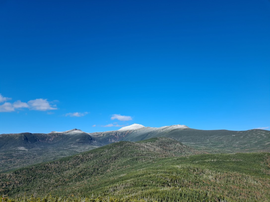
After a more relaxed start to our morning, we were out on trail by 8:45am. We climbed to the top of Engine Hill and took the bushwhack across to Isolation trail, though we lost the main ‘whack and ended up pushing through trees, just following the GPS. Crossing Rocky Branch twice on the main trail was somewhat treacherous, since it was cold enough that any splashed water on the rocks was frozen and very slippery. On the way up, we just followed Isolation to Davis Path. Around 3500′, we started seeing very light snow cover; once we hit maybe 3800’, we were maneuvering on and around ice. After admiring the summit views, we had a snack break and then began descending. We followed the bushwhack near the summit down to the Rocky Branch crossing, but the more established bushwhack was very hard to follow and we lost and refound it twice before losing it for good and following the GPS back to the trail. From there, we headed down the trail and couldn’t see the start to the Engine Hill ‘whack so we just kept going, though we did take another bushwhack detour to cut off the corner and two creek crossings. We finally hit the top of Engine Hill and took our last break of the day, and pulled out our headlamps. Unfortunately, I hadn’t replaced my batteries since before my PCT trip, so my light was pretty much dead, so I had to navigate the last 2-3 miles by cellphone flashlight. We made the trailhead around 8pm.