Friday, Oct 23, 2020
Start/end: 19-Mile trailhead
Mileage: 12.68
Elevation gain/loss: 4318′
GaiaGPS track
We started out from the trailhead at 7:30am, and made good time hiking up 19-Mile up to Carter Notch. We were walking into the clouds, and the pond at the notch was barely visible. We stopped for a snack at the pond, but ended up cutting it short due to half a dozen mice coming out of the moss and trying to crawl into our packs looking for food. It’s the first time I’ve ever seen mice out in the daylight, seemingly called by the crinkle of cellophane wrappers.
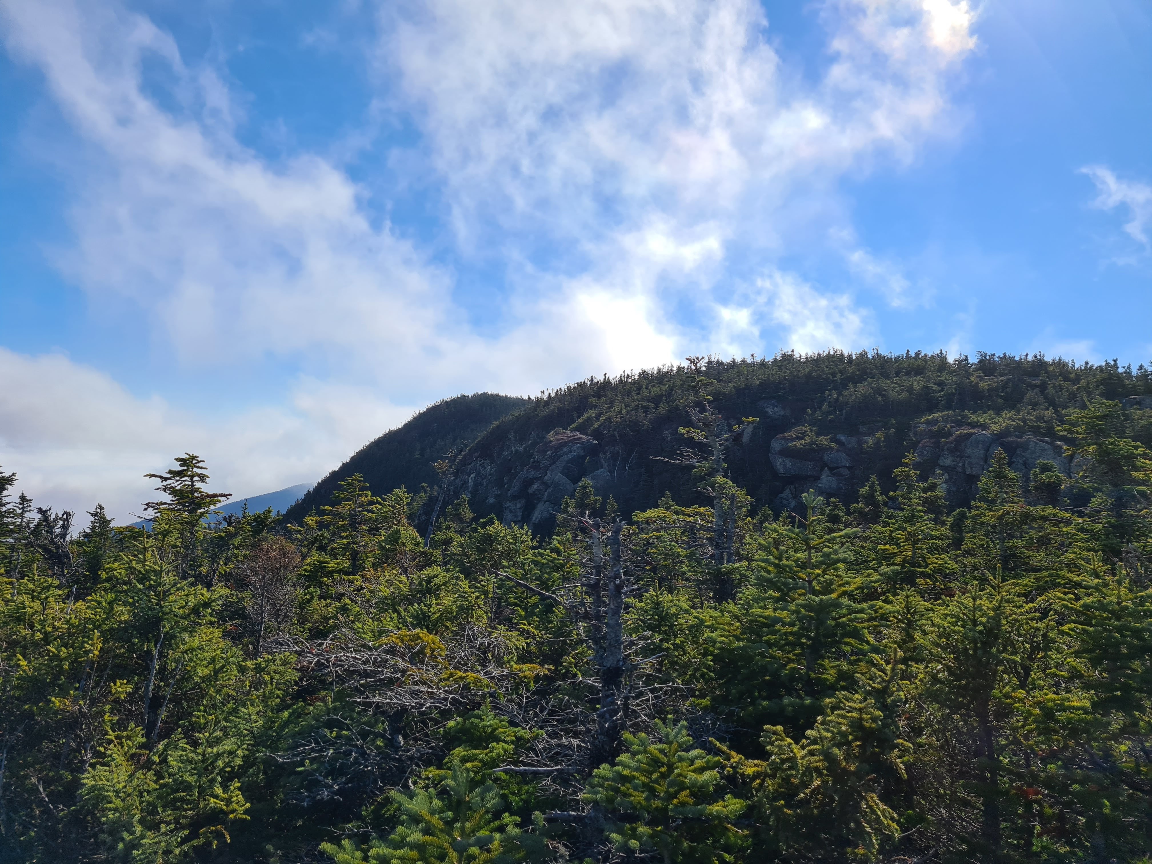
From there, we headed up Carter Dome, passing by a few early birds on our way up. We stopped for a break on the summit, and were rewarded with a brief view through the clouds. Then we headed over to Mt Hight, where the clouds were starting to burn off and we had gorgeous views.

We then headed over to South Carter followed by Middle Carter (both wooded summits, with small lookouts). We had views in and out of the clouds all day, and in many ways, the clouds just added to the views. We then descended to Rt. 16 by North Carter trail to Imp trail, and cut through Camp Dodge to do a quick half-mile road walk back to the trailhead, where we finished up by 5pm.