Sunday, March 7, 2021
Start/end: Rt-27 AT parking lot
Miles: 17.0
Elevation gain: 4369′
I left from the parking lot at 6:30am, ready for my final Winter 67 hike. Per the ME ATC chapter, I parked at the Rt-27 parking lot rather than at the end of Stratton Brook Pond Rd. On my way out, I hiked down the road to the left, then took the residential road to the snowmobile track that is Stratton Brook Pond Rd in the winter. On my way back, I noticed that the AT trail connection from the snowmobile track was completely packed down, so I cut across that way and saved myself 0.8mi.
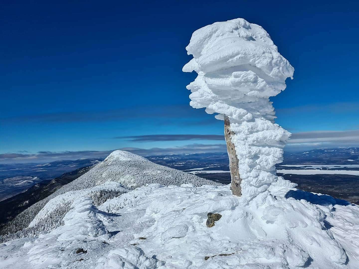
I walked along the snowmobile track until it splits and took the left-hand side to head towards the trailhead. I made really good time, since even after the trailhead, the trail was packed down and solid and I could wear spikes. I wore spikes until I started the final ascent up to the col between West and Avery, and swapped out for my snowshoes with heel lifts. Once at the col, I dropped my backpack and went up to Avery first. The wind at the summit took my breath away and I quickly scurried back below treeline. At the col, I had a snack, goofed off with the greyjays trying to get my snacks, and then picked up my backpack and headed over to West. I’d bundled up in anticipation of the wind above treeline on West and I was glad for that, because the 35 MPH wind was making it wicked cold. I took pictures to commemorate my Winter 67 finish and then quickly headed down, snowshoeing towards South Horn.
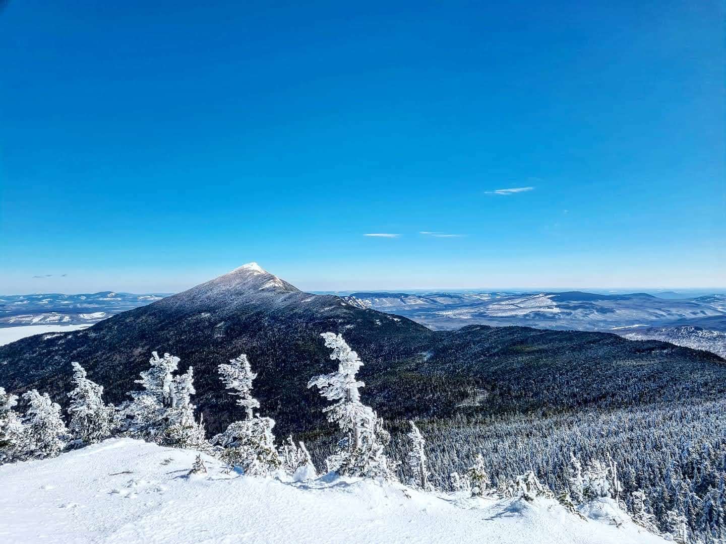
The 2.4 miles between West peak and South Horn had been traveled by 2 sets of snowshoes since the last storm, so it was fairly easy to follow their tracks, though some sections had been windswept and I had a little trouble staying on the trail. But overall, it was an easy process to get over to South Horn.
On my way down from South Horn, I passed by the spur for North Horn and couldn’t remember which was taller (and my GPS incorrectly identified North Horn as taller). To be extra certain, I went the 0.2 miles to tag North Horn and then continue on my way down. I passed by the Horns Pond, lean-tos, and campsite, and then took the left to descent the Horns Pond Trail until it met back up with the Firewardens Trail.
Back at the trail intersection, I swapped out my snowshoes for my spikes again, and hoofed it back down the trail, along the snowmobile track, and then took a left at the AT to connect back to the Rt-27 parking lot, arriving by 2pm!

